


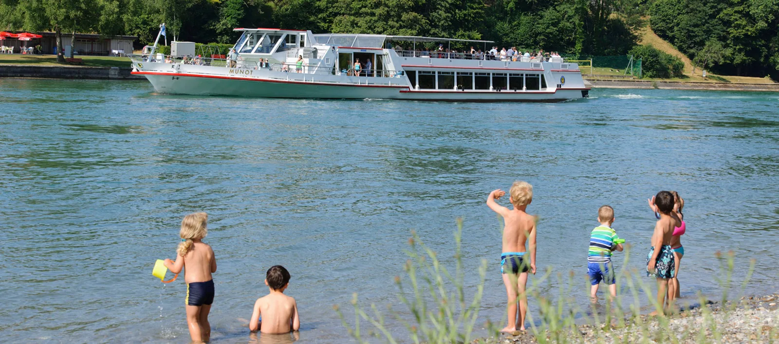
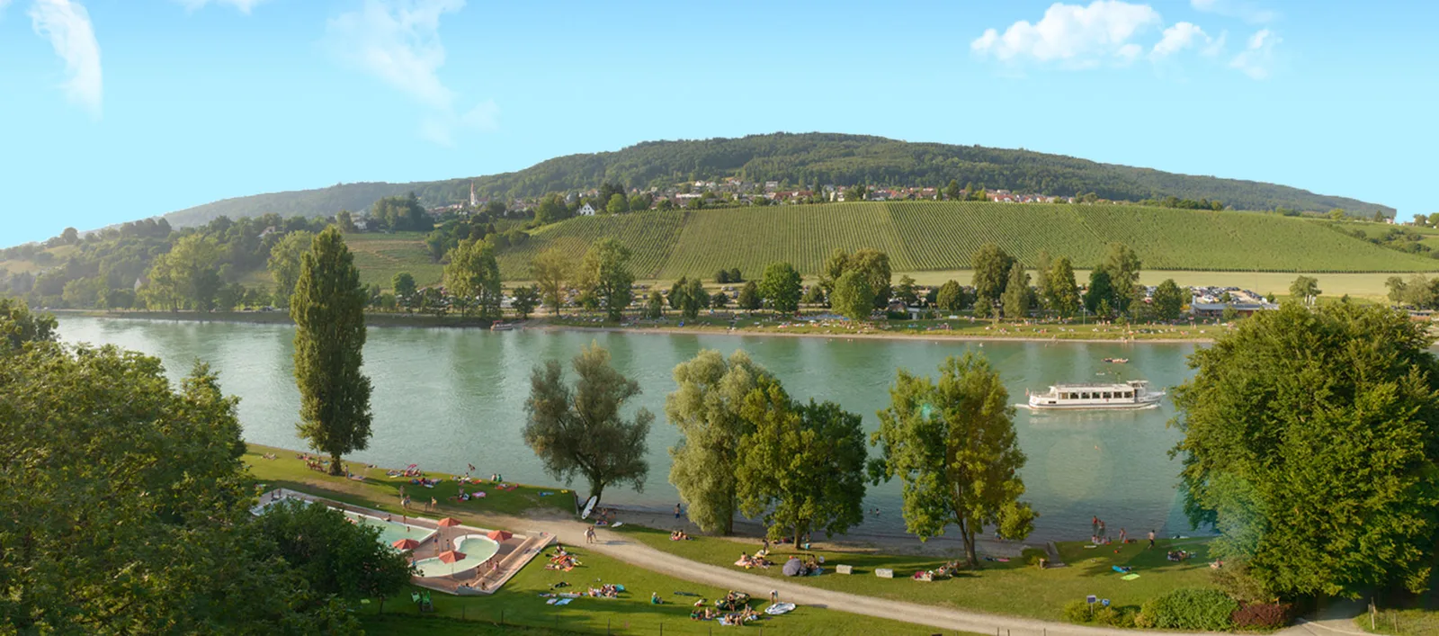
8 Photos
Wohnmobilstellplatz am Strandbad
Motorhome stopoverSwitzerland
Two kinds of stars
Camper rating
Average of all reviews campers have left on ViaCamp. The more reviews, the more meaningful.
Classification like for hotels
Star grade of the site, comparable to hotel stars: it reflects facilities and service, not guests’ opinions. Source: OpenStreetMap.
- Price
- 28 EUR/24 h
- Pitches
- 20 pitches
- Season
- April – October
Open now
Nearby
- Beach50 m
- River100 m
- Bathing spot, outdoor pool150 m
- Lake950 m
- Hiking trails12 routes
Water
- Beach 26 nearby
- Beach50 m
- Beach2 km
- Beach2.2 km
- Lake 40 nearby
- Lättenweiher950 m
- Blauseeli2.6 km
- Seeli3.3 km
- River 4 nearby
- Rhein100 m
- Bathing spot, outdoor pool 22 nearby
- Rhybadi Rodenbrunnen150 m
- Bathing spot, outdoor pool150 m
- Laag Badestelle2.4 km
Outdoors
- Hiking trailsEuropäischer Fernwanderweg E5, Schweiz · ViaRhenana · Hegauer Kegelspiel: Grenzgänger · Hochrhein Jakobsweg (1)12 routes within 3 km
- Cycle routesRhein-Route · Seerücken-Route · Geo-Route · Hegau-Route12 routes within 3 km
- Climbing 10 nearby
- Fels Schweizersbild9.5 km
- Kletterwand Pinkyfels9.8 km
- Boulderanlage Steißlinger Straße/Freiburger Straße10 km
- Boats and canoes 4 nearby
- Boats and canoes50 m
- Boats and canoes8 km
- Boats and canoes8.3 km
- Horse riding 10 nearby
- Horse riding5.1 km
- Horse riding5.8 km
- Horse riding6.2 km
- Golf and mini golf 6 nearby
- Camping Wagenhausen6.8 km
- Minigolf8.4 km
- Pit Pat (Tischminigolf)9.3 km
Day trips
- Castle 59 nearby
- Unterhof650 m
- Liebenfelsisches Schlösschen900 m
- Schloss Randegg3.5 km
- Museum 34 nearby
- Carl und Margrit Roesch-Stiftung250 m
- Museum Kunst + Wissen300 m
- Schaudepot St. Katharinental | Volkskundliche Sammlung Historisches Museum Thurgau1.5 km
- Zoo, animal or theme park 5 nearby
- Zoo, animal or theme park4.5 km
- Freizeitpark Ticiland8.4 km
- Tropilua8.6 km
- Viewpoint 15 nearby
- Viewpoint700 m
- Viewpoint1000 m
- Viewpoint1.2 km
- Sight 19 nearby
- Alte Hanfreibe3.7 km
- Alte Säge Buch3.7 km
- Schüppel-Eiche4.8 km
- Nature reserve, national park 17 nearby
- Gailinger Berg-Bölderen800 m
- Murbacher Ried2.4 km
- Bibermühli3.9 km
Supplies
- Groceries 7 nearby
- Coop450 m
- Migros600 m
- Lidl1.1 km
- Bakery 4 nearby
- Tortenwerkstatt450 m
- Bäckerei Stemke1 km
- Brot und mehr1.1 km
- Restaurant, café 27 nearby
- Badikiosk Rodenbrunnen200 m
- Da Leone300 m
- Wiffe 74300 m
- Pharmacy 21 nearby
- Bahnhof-Apotheke Gottmadingen5.3 km
- Pharmacy7.6 km
- Rosenegg Apotheke7.6 km
- Petrol station 41 nearby
- Petrol station400 m
- Freie Tankstelle Leutenegger450 m
- Migrol Service Ramsen5 km
- Railway station 21 nearby
- Diessenhofen650 m
- St. Katharinental1.9 km
- Schlattingen2.8 km
- Bus stop 15 nearby
- Kapellenstraße West450 m
- Kapellenstraße Ost500 m
- Schule550 m
Data: © OpenStreetMap contributors (ODbL) · straight-line distance · as of 26 October 2026
Reviews
No reviews yet. Be the first — sign in and share your experience.