


8 Photos
Wohnmobilhafen Altenautal
Motorhome stopoverGermany
- Price
- Kostenpflichtig
- Pitches
- 4 pitches
Amenities
Nearby
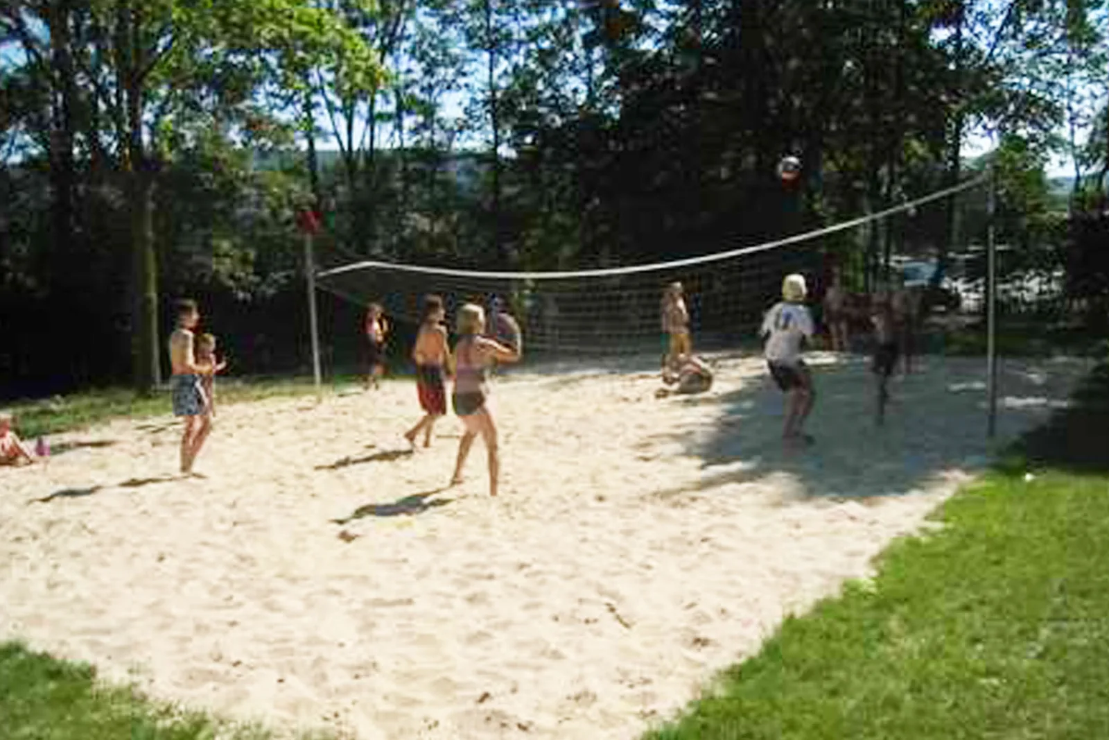
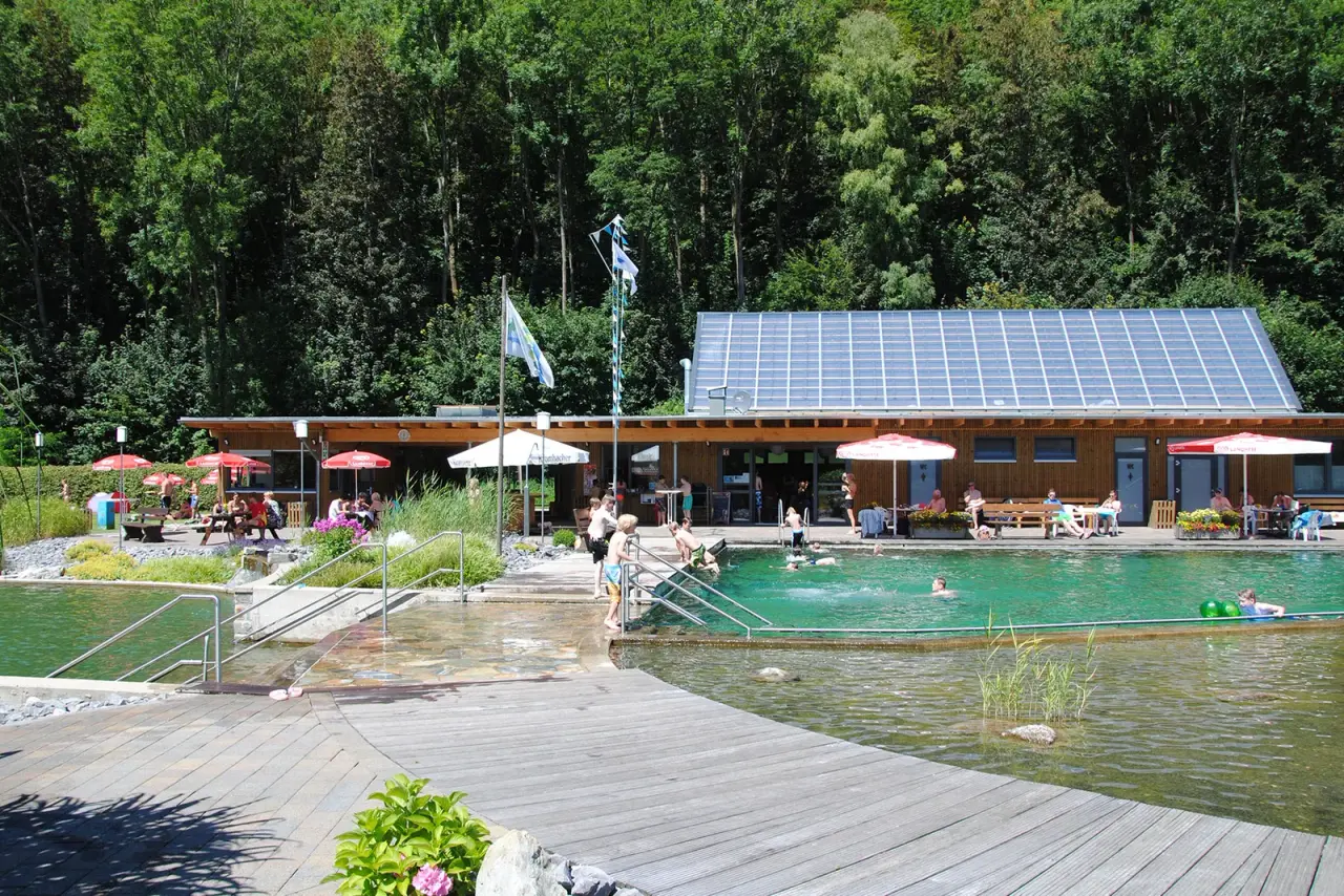
- Bathing spot, outdoor poolright at the site
- Riverright at the site
- Hiking trails21 routes
- Cycle routes10 routes
- Nature reserve, national park600 m
Water
- Lake
- Gräfte9.3 km
- River 5 nearby
- Altenauright at the site
- Bathing spot, outdoor pool
- Naturbad Altenautalright at the site
- Freibad Lichtenau7.4 km
Outdoors
- Hiking trailsSintfeld-Höhenweg · WestfalenWanderWeg · X4 Lippe-Diemel-Weg · [X2] Nethe-Alme-Weg21 routes within 3 km
- Cycle routesR49 [NRW] · Paderborner Land Route · Radverkehrsnetz NRW, Kreis Paderborn · Mühlenroute (NRW Dalheim-Lichtenau-Herbram)10 routes within 3 km
- Climbing 7 nearby
- Climbing8 km
- BlocBuster Kletterhalle Paderborn13.1 km
- Climbing13.6 km
- Horse riding 6 nearby
- Horse riding800 m
- Horse riding5.6 km
- Horse riding5.6 km
- Golf and mini golf 9 nearby
- Golfplatz Haxterhöhe Links10 km
- Golfplatz Universität11.4 km
- Golf and mini golf11.4 km
Day trips
- Castle 6 nearby
- Ettelner Burg4.5 km
- Schloß Hamborn7.3 km
- Schloss Fürstenberg10.4 km
- Museum 15 nearby
- Museum für Klosterkultur4.7 km
- Stiftung Kloster Dalheim. LWL-Landesmuseum für Klosterkultur4.7 km
- Das Kleine SonntagsMuseum10.2 km
- Zoo, animal or theme park 4 nearby
- Tier- und Wildgehege im Aatal11.9 km
- Essenthoer Mühle13.4 km
- Wisentgehege Hardehausen13.9 km
- Viewpoint 4 nearby
- Viewpoint150 m
- Viewpoint1.6 km
- Viewpoint2 km
- Sight
- Spieker450 m
- Die dicke Linde4.4 km
- Aposteltor4.7 km
- Nature reserve, national park 13 nearby
- Nordhänge des Altenautals600 m
- Geimer Berg2.6 km
- Mental2.6 km
Supplies
- Groceries
- Rewe600 m
- Bakery 3 nearby
- Voss400 m
- Zacharias1.7 km
- Restaurant, café
- Birkenhof850 m
- Pharmacy 6 nearby
- Amts-Apotheke400 m
- Haarener Apotheke6.3 km
- St.Vitus6.3 km
- Petrol station 14 nearby
- Raiffeisen Tankstelle1.4 km
- Autohaus Koch4 km
- Petrol station6.1 km
- Bus stop 11 nearby
- Atteln, Post400 m
- Atteln, Neue Straße450 m
- Lichtenau-Atteln, Wendeplatz600 m
Data: © OpenStreetMap contributors (ODbL) · straight-line distance · as of 26 October 2026
Reviews
No reviews yet. Be the first — sign in and share your experience.