


8 Photos
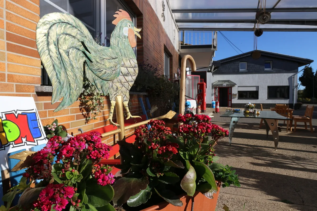
Wohnmobil-Stellplatz Graffiti Wall in Kail
Motorhome stopoverGermany
- Pitches
- 3 pitches
- Season
- Open all year
Amenities
Nearby
- River1.8 km
- Bathing spot, outdoor pool4.1 km
- Hiking trails8 routes
- Cycle routes2 routes
- Nature reserve, national park1.7 km
Water
- Lake
- Wildwasser-Rondell6.4 km
- Wasserbob6.4 km
- River
- Mosel1.8 km
- Bathing spot, outdoor pool
- Freibad Treis4.1 km
- Moselbad5.5 km
- Freibad Ellenz-Poltersdorf8 km
Outdoors
- Hiking trailsMoselhöhenweg (Eifel) · Moselhöhenweg (Hunsrück) · Pommerbach-Talweg · Kulturweg Dortebachtal8 routes within 3 km
- Cycle routesMosel-Radweg · Saar-Mosel-Main [Trier - Koblenz]2 routes within 3 km
- Boats and canoes
- Mosel-Kanutours4.5 km
- Horse riding
- Horse riding4 km
- Horse riding6.1 km
- Horse riding7.2 km
- Golf and mini golf 5 nearby
- Minigolfanlage4 km
- Course "Mosel"8.3 km
- Course "Eifel"9.1 km
Day trips
- Castle 14 nearby
- Coraidelstein3.6 km
- Wildburg4.4 km
- Burg Pyrmont6.7 km
- Museum 15 nearby
- Nachbau eines Tempels3 km
- Stiftsmuseum4.1 km
- Moselland Museum4.6 km
- Zoo, animal or theme park
- Wild- und Freizeitpark Klotten6.1 km
- Viewpoint 35 nearby
- Viewpoint1.5 km
- Viewpoint2.2 km
- Georgslay2.2 km
- Sight 12 nearby
- Pfarrkirche St. Castor4 km
- Elzwasserfall6.7 km
- Kachelwand6.9 km
- Nature reserve, national park 6 nearby
- Pommerheld1.7 km
- Dortebachtal2.3 km
- Feuchtwiese beim Schafstaller Hof4.4 km
Supplies
- Groceries 6 nearby
- Dorfladen Klotten w.V.3.9 km
- EDEKA4 km
- NORMA4 km
- Bakery 7 nearby
- Mohr's Backschopp2.4 km
- Die Lohner's3.7 km
- Bäckerei Lutz4 km
- Restaurant, café 8 nearby
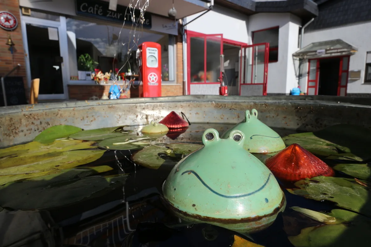
- Musikschmiede Kail / Café zur Tanke50 m
- Jimmys Saloon1.4 km
- Weingut Josefshof2.4 km
- Pharmacy 6 nearby
- Johannes-Apotheke4.2 km
- Kreuzberg-Apotheke5.4 km
- Marien Apotheke6.8 km
- Petrol station 16 nearby
- Dieter Bamberg4.3 km
- Adams5.9 km
- Petrol station6.5 km
- Railway station 7 nearby
- Pommern (Mosel)2.4 km
- Klotten3.5 km
- Treis-Karden4 km
- Bus stop 2 nearby
- Kail, Hauptstraße200 m
Data: © OpenStreetMap contributors (ODbL) · straight-line distance · as of 26 October 2026
Reviews
No reviews yet. Be the first — sign in and share your experience.