


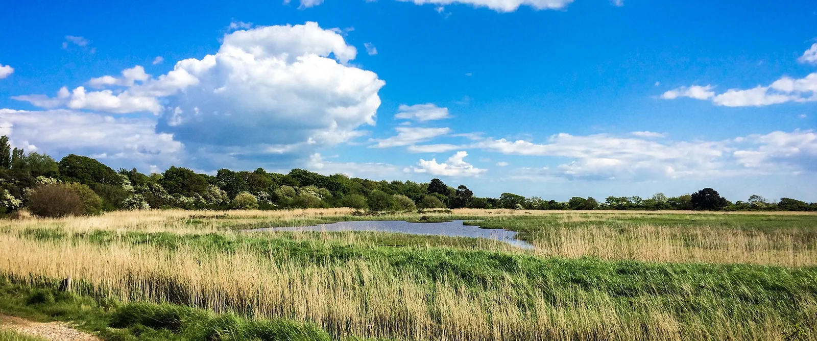
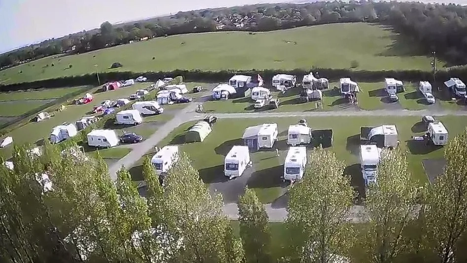
8 Photos
Sunnydale Farm Touring Park
Motorhome stopoverUnited Kingdom
- Price
- Kostenpflichtig
- Pitches
- 60 pitches
Amenities
Nearby
- Beach1.6 km
- Sea1.6 km
- Lake1.6 km
- River2.6 km
- Bathing spot, outdoor pool4.1 km
Water
- Beach 22 nearby
- Beach1.6 km
- Beach1.7 km
- Beach1.7 km
- Sea 59 nearby
- Sea1.6 km
- Sea1.8 km
- Sea1.8 km
- Lake 48 nearby
- Southampton Water1.6 km
- Sophie's Pond1.7 km
- Andark Lake3.6 km
- River
- River Hamble2.6 km
- Bathing spot, outdoor pool 5 nearby
- Holly Hill Leisure Centre4.1 km
- Wildern Leisure Centre4.6 km
- Swim School Academy Burridge5.9 km
Outdoors
- Hiking trailsItchen Way · Solent Way · Strawberry Trail · King Charles III England Coast Path: Calshot to Gosport6 routes within 3 km
- Cycle routesNational Cycle Route 23 · National Cycle Route 236 - Southampton to Lyndhurst · Southampton Cycle Network Route 5 · National Cycle Route 236 - Titchfield to Southampton6 routes within 3 km
- Climbing 10 nearby
- Southampton Climbing Wall5 km
- Boulder Shack Climbing Gym5.1 km
- Rock Up6.6 km
- Boats and canoes
- Fairview Sailing3.3 km
- 4boards6.5 km
- Horse riding 6 nearby
- Russells Equestrian Centre5.7 km
- Pinkmead Farm Equestrian Centre6.4 km
- Horse riding9.3 km
- Golf and mini golf 23 nearby
- Weston Pitch & Putt2.2 km
- Hedge End Golf Centre3.5 km
- The Ageas Bowl County Golf Club3.5 km
- Ski area
- Southampton Alpine Centre8.2 km
Day trips
- Castle
- Netley Castle1.6 km
- Calshot Castle7.6 km
- Cowes Castle - Royal Yacht Squadron13.5 km
- Museum 20 nearby
- Royal Victoria Hospital Museum2 km
- Bursledon Brickworks3.5 km
- Solent Sky3.9 km
- Zoo, animal or theme park
- The New Forest Wildlife Park10.9 km
- Marwell Zoo12.3 km
- Viewpoint 6 nearby
- Viewpoint550 m
- Viewpoint2.2 km
- Viewpoint3.4 km
- Sight 11 nearby
- Netley Abbey1.3 km
- Calshot Spit Lightship3.9 km
- RNLB Ruby and Arthur Reed4.2 km
- Nature reserve, national park 16 nearby
- Millers Pond Local Nature Reserve1.6 km
- Mercury Marshes Local Nature Reserve2.8 km
- Hook with Warsash Local Nature Reserve3.2 km
Supplies
- Groceries 122 nearby
- The Co-operative Food1.2 km
- Co-op Food1.2 km
- Pilands Newmarket1.3 km
- Bakery 11 nearby
- Bakers Dozen1.5 km
- Greggs Outlet3 km
- The Oven Door3 km
- Restaurant, café 20 nearby
- Purbani1.4 km
- Tesco Café1.8 km
- The Cedars1.8 km
- Pharmacy 60 nearby
- Blackthorn Pharmacy1.4 km
- Day Lewis Pharmacy1.7 km
- Tesco Pharmacy1.8 km
- Petrol station 40 nearby
- Tesco1.7 km
- BP1.9 km
- Esso3.3 km
- Railway station 25 nearby
- Netley1.1 km
- Hamble1.8 km
- Piccadilly2 km
- Bus stop 22 nearby
- Woolston Road350 m
- Ingleside400 m
- Bowcombe500 m
Data: © OpenStreetMap contributors (ODbL) · straight-line distance · as of 26 October 2026
Reviews
No reviews yet. Be the first — sign in and share your experience.