
4 Photos
Sonnenhof
CampsiteGermany
Amenities
Nearby
- River1.2 km
- Lake2.5 km
- Bathing spot, outdoor pool2.7 km
- Beach2.7 km
- Hiking trails11 routes
Water
- Beach
- Beach2.7 km
- Beach3.6 km
- Beach4.4 km
- Lake 15 nearby
- Max-Eyth-See2.5 km
- 2 Saugstellen Parkhaus Rücken6 km
- Raiseteich6.9 km
- River 7 nearby
- Neckar1.2 km
- Bathing spot, outdoor pool 30 nearby
- Alfred-Kercher-Bad2.7 km
- Lehrschwimmbecken Eichendorffschule2.8 km
- Stadionbad4.5 km
Outdoors
- Hiking trailsHauptlinie Stuttgart Schnarrenberg - Poppenweiler · Martinusweg HW-35-13 Stuttgart/Schlossplatz - Ludwigsburg · 4-Burgen-Rundwanderweg Mühlhausen · Neckarweg Abschnitt 4: Plochingen - Neckarrems11 routes within 3 km
- Cycle routesRadelthon Stuttgart · Deutsche Fachwerkstraße Abschnitt Bietigheim-Kirchheim · Hauptroute 11 · Neckartal-Radweg Teil 384 routes within 3 km
- Climbing 21 nearby
- Kletterwand3.7 km
- Griffwerk Klettern & Bouldern4.2 km
- Cannstatter Pfeiler4.8 km
- Boats and canoes 5 nearby
- Stuttgarter Kajak-Club2.5 km
- Bootsvermietung2.7 km
- Die Zugvögel6 km
- Horse riding 7 nearby
- Horse riding5.5 km
- Islandpferdezentrum Stuttgart5.7 km
- Reitanlage Waiblingen6 km
- Golf and mini golf 31 nearby
- Golfclub Neckartal e.V.1.6 km
- Citygolf Stuttgart3.4 km
- Adventure Golf3.4 km
Day trips
- Castle 42 nearby
- Palm'sches Schloss1.3 km
- Aldinger Schloß1.5 km
- Schloß Remseck3.2 km
- Museum 110 nearby
- Schutzbauten Stuttgart: Pionierstollen Mühlhausen1.4 km
- Turmuhrenarchiv und Turmuhrenmagazin3.1 km
- Philipp-Matthäus-Hahn-Museum3.4 km
- Zoo, animal or theme park 9 nearby
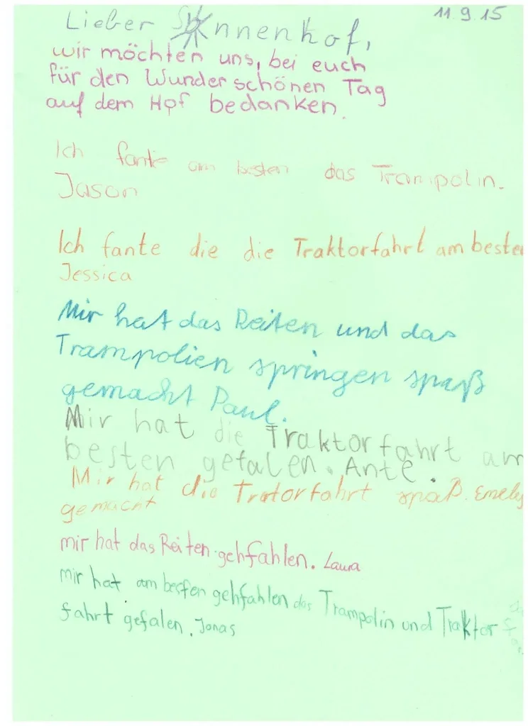
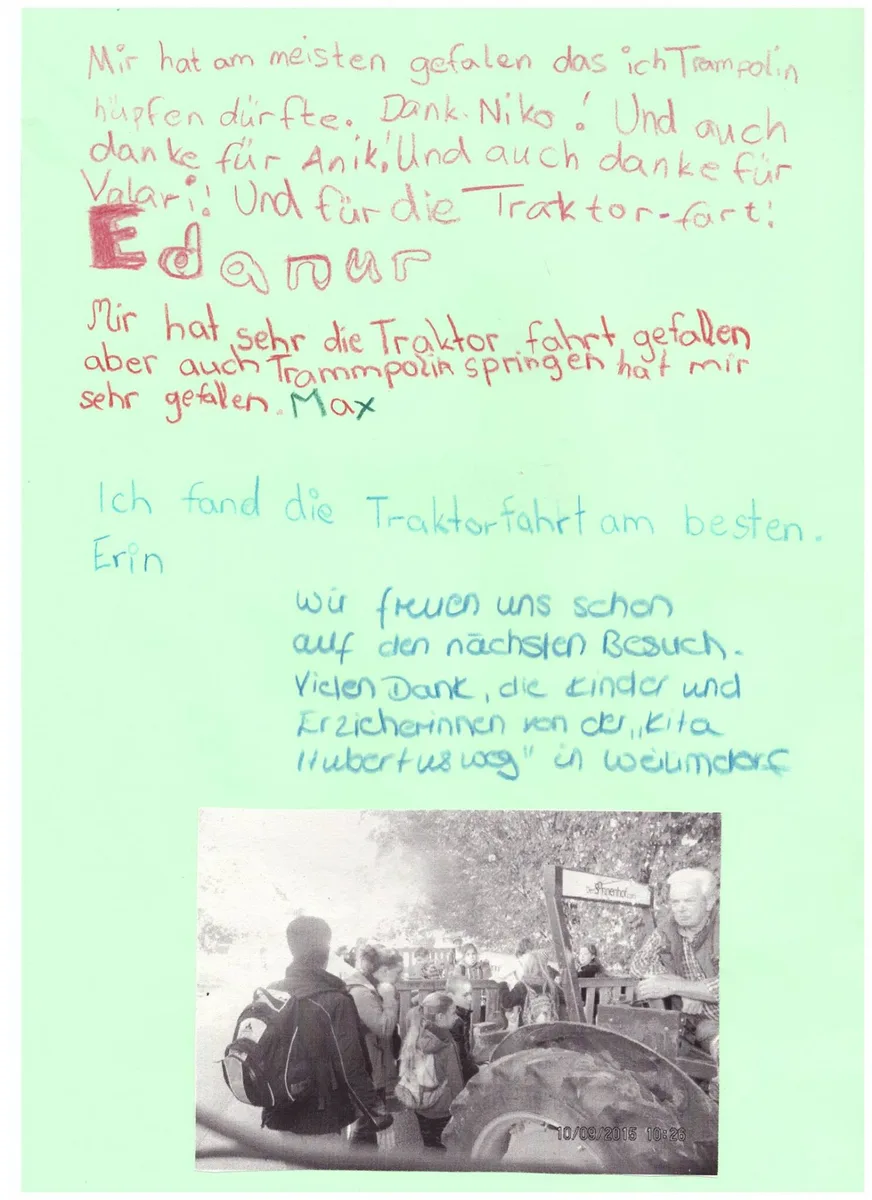
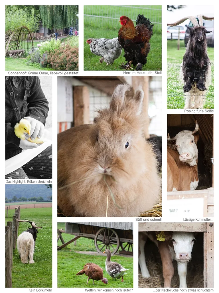
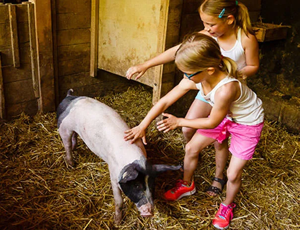
- Streichelzoo Sonnenhof150 m
- Streichelzoo Münster4.1 km
- Kinderspielstadt Stutengarten4.3 km
- Viewpoint 20 nearby
- Landungsbrücke Fellbach1.2 km
- Viewpoint1.3 km
- Engelburg1.5 km
- Sight 151 nearby
- Bahnhof Schmiden Stadion3 km
- Kamerunschafe & Zwergziegen4.1 km
- Landschaftspark Travertinpark4.3 km
- Nature reserve, national park 10 nearby
- Oeffinger Scillawald1.2 km
- Unteres Feuerbachtal mit Hangwäldern und Umgebung1.2 km
- Unteres Remstal3.3 km
Supplies
- Groceries 71 nearby
- Gemmi1.6 km
- Bistro- Shop1.7 km
- Kaufland1.8 km
- Bakery 60 nearby
- Strohmaier1.6 km
- Mildenberger1.7 km
- Sailer1.8 km
- Restaurant, café 50 nearby
- Café Sonnenhof200 m
- Weidenbrunnen1.1 km
- Schützenhaus1.3 km
- Pharmacy 124 nearby
- Adler-Apotheke1.6 km
- Apotheke am Löwenplatz1.7 km
- Apotheke Pattonpoint2 km
- Petrol station 99 nearby
- Avia1.7 km
- HEM1.8 km
- Esso Tankstelle2.2 km
- Railway station 155 nearby
- Hornbach1.1 km
- Aldingen Mühle1.6 km
- Mühlhausen1.7 km
Data: © OpenStreetMap contributors (ODbL) · straight-line distance · as of 26 October 2026
Reviews
No reviews yet. Be the first — sign in and share your experience.