


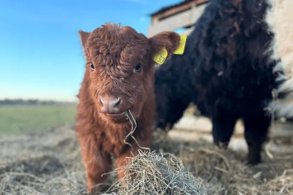

8 Foto’s
Sacrewell Farm
CampingVerenigd Koninkrijk
In de omgeving
- Rivier700 m
- Meer2,9 km
- Strand4 km
- Wandelroutes3 routes
- Museum350 m
Water
- Strand 15 in de buurt
- Strand4 km
- Strand4,1 km
- Strand4,1 km
- Meer 17 in de buurt
- Carp Pond2,9 km
- Sibson Lake3 km
- Oak Lake4,3 km
- Rivier 4 in de buurt
- River Nene700 m
- River Nene (Old Course)2,3 km
Buiten actief
- WandelroutesNene Way · Hereward Way3 routes binnen 3 km
- Boot en kano
- Nene Outdoors Watersports and Activity Centre6,6 km
- Proteus Canoe Club9 km
- Golf en minigolf 11 in de buurt
- Peterborough Milton5,7 km
- Burghley Park Golf Course5,9 km
- Elton Furze Golf Club6,7 km
Uitstapjes
- Kasteel
- Burghley House6,6 km
- Apethorpe Palace7,5 km
- Longthorpe Tower8,3 km
- Museum 4 in de buurt
- Old Farm Equipment350 m
- Priest's House (National Trust)8,3 km
- Peterborough Museum and Art Gallery11 km
- Bezienswaardigheid 7 in de buurt
- Sacrewell Farm & Country Centre50 m
- Travelling Post Office Apparatus3 km
- Yarwell Mill Country Park3,1 km
- Natuurgebied, nationaal park 14 in de buurt
- Bedford Purlieus National Nature Reserve3,1 km
- Castor Hanglands NNR3,4 km
- Ring Haw Field Station4 km
Voorzieningen
- Levensmiddelen 5 in de buurt
- Spar1,4 km
- Costcutter3 km
- The Phoenix3,5 km
- Restaurant, café 5 in de buurt
- Restaurant, café50 m
- The Farmhouse Table100 m
- Starbucks1,5 km
- Apotheek 11 in de buurt
- Halls the Chemist4,5 km
- Halls The Chemist7,3 km
- Boots8,2 km
- Tankstation 19 in de buurt
- BP650 m
- Kate's Cabin7,1 km
- BP Connect Bretton8,2 km
- Station 7 in de buurt
- Wansford (NVR)2,6 km
- Yarwell Junction (NVR)3,2 km
- Gunwade (FMR)6,8 km
- Bushalte
- Thornhaugh Turn South650 m
- Bushalte700 m
Gegevens: © OpenStreetMap-bijdragers (ODbL) · hemelsbreed · stand 26 oktober 2026
Beoordelingen
Nog geen beoordelingen. Wees de eerste — log in en deel je ervaring.