



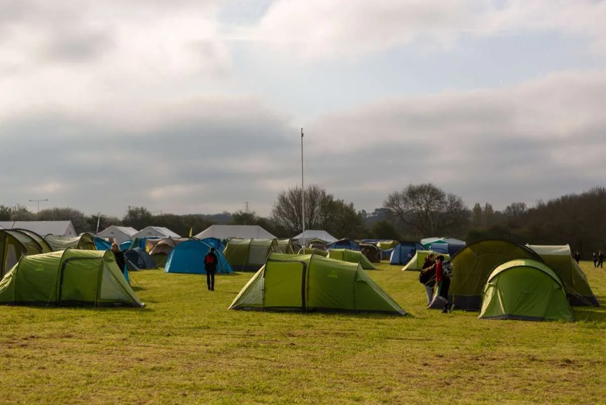
8 Photos
Lower Grange Farm Scout Activity Centre
CampsiteUnited Kingdom
Amenities
Nearby
- River850 m
- Lake1.9 km
- Hiking trails5 routes
- Cycle routes8 routes
- Castle950 m
Water
- Beach
- Beach9.3 km
- The Beach9.3 km
- Sea
- Sea9.9 km
- Sea9.9 km
- Lake 12 nearby
- Oak Spring Lake1.9 km
- Road and Island Lake5.5 km
- Railway Lake5.6 km
- River 25 nearby
- River Medway850 m
- River Len2.6 km
- Bathing spot, outdoor pool
- St Andrews Lakes Watersports9.3 km
Outdoors
- Hiking trailsNorth Downs Way (Eastern) · Medway Valley Walk · Len Valley Walk · Augustine Camino5 routes within 3 km
- Cycle routesNCN National Route 17 · NCN Regional Route 19 (Kent) · NCN Regional Route 12 (Kent) · NCN National Route 177 (Proposed)8 routes within 3 km
- Boats and canoes
- Maidstone Canoe Club2.1 km
- Fishing
- Oak Spring Lake1.9 km
- Majors Lakes5 km
- Horse riding 133 nearby
- Horse riding400 m
- Horse riding1.6 km
- Horse riding2.1 km
- Golf and mini golf 21 nearby
- Cobtree Manor Park Golf Club1 km
- Bearsted Golf Club3.2 km
- Golf and mini golf3.3 km
- Ski area
- Chatham Ski & Snowboard Centre6.9 km
- Ski area7.1 km
Day trips
- Castle 8 nearby
- Allington Castle950 m
- The Archbishop's Palace2.7 km
- Leeds Castle8.9 km
- Museum 8 nearby
- Maidstone Museum2.2 km
- Queens Own Royal West Kent Regiment Museum2.2 km
- Museum of Carriages2.7 km
- Zoo, animal or theme park
- Diggerland Kent10 km
- Hemsley Conservation Centre13.5 km
- Viewpoint
- Operation Sunsetters Spot2.7 km
- Sight 14 nearby
- Kent Life1.2 km
- Kent Life Admissions1.2 km
- Maize Maze1.6 km
- Nature reserve, national park 7 nearby
- Vinters Valley Nature Reserve2.1 km
- Westfield Wood Reserve2.6 km
- Ditton Quarry Nature Reserve4.3 km
Supplies
- Groceries 69 nearby
- Spar700 m
- Morrisons Daily1.1 km
- Londis1.1 km
- Restaurant, café 59 nearby
- Running Horse650 m
- Penenden Deli1.1 km
- Malta Inn1.2 km
- Pharmacy 42 nearby
- Penenden Heath Londis1.1 km
- Pharmacy2.1 km
- Superdrug2.3 km
- Petrol station 47 nearby
- Esso700 m
- Shell1.5 km
- Gulf2.4 km
- Railway station 18 nearby
- Maidstone East2 km
- Maidstone Barracks2.2 km
- Maidstone West2.9 km
- Bus stop 13 nearby
- Ringlestone Road Footbridge650 m
- The Running Horse650 m
- Ringlestone Crescent700 m
Data: © OpenStreetMap contributors (ODbL) · straight-line distance · as of 26 October 2026
Reviews
No reviews yet. Be the first — sign in and share your experience.