


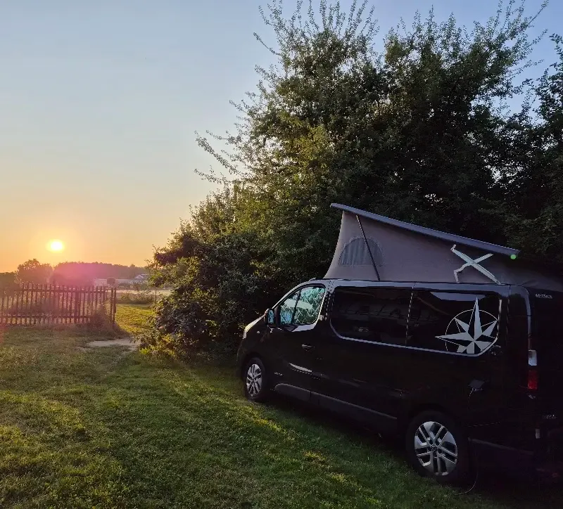
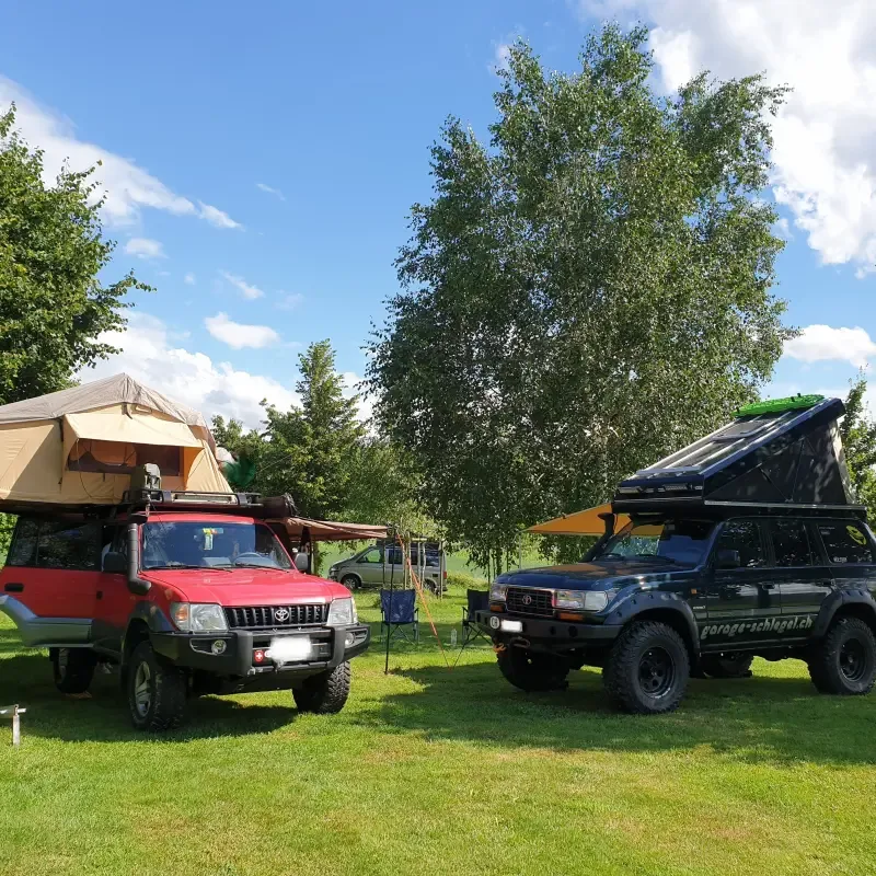
8 Photos
Lindenhof
CampsiteSwitzerland
Nearby
- Bathing spot, outdoor pool400 m
- Lake450 m
- Beach1.6 km
- Hiking trails48 routes
- Cycle routes4 routes
Water
- Beach 16 nearby
- Beach1.6 km
- Beach2.8 km
- Beach3 km
- Lake
- Bielersee450 m
- Lobsigesee9.5 km
- Bathing spot, outdoor pool 16 nearby
- Badewiese Lattrigen400 m
- Badeplatz Tüscherz2.5 km
- Strandbad Rostele3.6 km
Outdoors
- Hiking trailsSeeland-Solothurn-Weg48 routes within 3 km
- Cycle routesAare-Route · Mittelland-Route · Jurasüdfuss-Route4 routes within 3 km
- Climbing 56 nearby
- Vingelz4.4 km
- Climbing5 km
- GRIP7.2 km
- Boats and canoes
- Neptun4.9 km
- Horse riding
- Horse riding7.1 km
- Pony-Ranch8.6 km
- Golf and mini golf
- Minigolf- und Miniaturgolf Florida8.4 km
- Miniaturgolf Florida8.5 km
- Golf Driving Range Pieterlen12.3 km
- Ski area
- Les Prés-d'Orvin6.2 km
- La Golatte12.7 km
- Les Bugnenets-Savagnières14.2 km
Day trips
- Castle 16 nearby
- Goldhubel5.8 km
- Hof Ligerz5.9 km
- Burg5.9 km
- Museum 19 nearby
- Pfahlbaumuseum4 km
- Schlossmuseum Nidau4.5 km
- Centre Müller4.9 km
- Zoo, animal or theme park 6 nearby
- Tierpark Biel8.2 km
- Seeteufel8.4 km
- Papiliorama11.4 km
- Viewpoint 11 nearby
- Viewpoint1.3 km
- Viewpoint1.4 km
- Viewpoint2.6 km
- Sight 23 nearby
- Scultures sur bois6.5 km
- Taubenlochschlucht8 km
- Alpensteinbock / Bouquetin des Alpes8.2 km
- Nature reserve, national park
- Naturpark Chasseral2.5 km
- Felseck4.9 km
- Fürstengräber9.7 km
Supplies
- Groceries 25 nearby
- Dorflädeli1.2 km
- Bel Lago1.7 km
- Denner2.1 km
- Bakery 4 nearby
- Kafi Lehmann3.2 km
- Moosgärtli4.1 km
- Schloss Beck4.3 km
- Restaurant, café 13 nearby
- Seepintli450 m
- Geras500 m
- Fahrräderei550 m
- Pharmacy 25 nearby
- Drogerie Burkhardt2.9 km
- Dorfapotheke Ipsach2.9 km
- Schloss Apotheke4.3 km
- Petrol station 56 nearby
- Eni3.5 km
- Socar3.8 km
- BP3.9 km
- Railway station 42 nearby
- Lattrigen500 m
- Mörigen850 m
- Sutz1.2 km
- Bus stop
- Lattrigen, Bahnhof500 m
Data: © OpenStreetMap contributors (ODbL) · straight-line distance · as of 26 October 2026
Reviews
No reviews yet. Be the first — sign in and share your experience.