
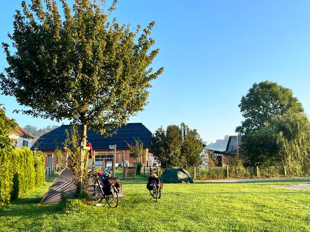
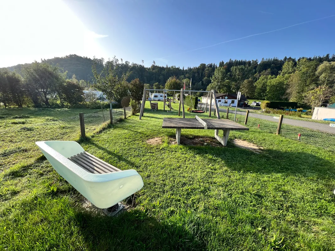
6 Photos
Leutswil
Comfort campsiteSwitzerland
- Price
- Kostenpflichtig
Amenities
Nearby
- River100 m
- Lake900 m
- Bathing spot, outdoor pool4.9 km
- Hiking trails10 routes
- Cycle routes5 routes
Water
- Lake 23 nearby
- Horber Weier 558 m900 m
- Rütiweier 554 m1.4 km
- Horbacher Weier1.8 km
- River 3 nearby
- Sitter100 m
- Bathing spot, outdoor pool 5 nearby
- Schwimmbad Amriswil4.9 km
- Schwimmbad Thurfeld5.5 km
- Hallen- und Freibad Wittenbach8.6 km
Outdoors
- Hiking trailsAmriswil Hauptwil · Thurgauer Panoramaweg · Thurweg · Divisionsweg10 routes within 3 km
- Cycle routesThur-Route · Mittelland-Route · Ostschweizer Wein-Route · Konzil Radweg5 routes within 3 km
- Climbing 5 nearby
- Holenstein2.3 km
- Kletterzentrum St. Gallen10.7 km
- Boulderlounge10.8 km
- Horse riding 11 nearby
- Horse riding5 km
- Ponyhof Biessenhofen5.1 km
- Faxihof5.1 km
- Golf and mini golf 11 nearby
- Golfpark Waldkirch3.6 km
- Golfclub Erlen4.9 km
- Golf and mini golf4.9 km
Day trips
- Castle 39 nearby
- Schloss Blidegg1.5 km
- Schloss Hauptwil2.9 km
- Schloss Bischofszell3 km
- Museum 48 nearby
- Museum Bischofszell2.8 km
- Typorama3.3 km
- Textilmuseum Sorntal4.5 km
- Zoo, animal or theme park 5 nearby
- Abenteuerland Walter Zoo8.9 km
- Zoo, animal or theme park10.1 km
- Wildpark Peter und Paul10.2 km
- Viewpoint 6 nearby
- Aussichtsplattform Felsenholz2.4 km
- Viewpoint3.1 km
- Mündung Sitter in Thur3.3 km
- Sight 6 nearby
- Freizeitpark und Minizoo Sitterdorf1.3 km
- Bogenturm2.8 km
- Papiermaschine PM13.2 km
- Nature reserve, national park
- Hudelmoos2.1 km
- Altmoos6 km
- Naturschutzgebiet8.4 km
Supplies
- Groceries 13 nearby
- Volg2.3 km
- Migros2.5 km
- Aldi2.6 km
- Bakery 4 nearby
- Königsbeck2.5 km
- Bakery3.7 km
- Bakery3.7 km
- Restaurant, café 14 nearby
- Olivers Restaurant950 m
- Restaurant, café1.4 km
- Hirschen2.1 km
- Pharmacy 7 nearby
- TopPharm2.7 km
- Pharmacy5.3 km
- Central Apotheke5.4 km
- Petrol station 52 nearby
- Agrola2.6 km
- Studerus2.6 km
- Petrol station3.1 km
- Railway station 17 nearby
- Sitterdorf2 km
- Bischofszell Stadt2.8 km
- Bischofszell Nord3.1 km
- Bus stop
- Rehalp750 m
- Abzweigung Lütschwil950 m
Data: © OpenStreetMap contributors (ODbL) · straight-line distance · as of 26 October 2026
Reviews
No reviews yet. Be the first — sign in and share your experience.