
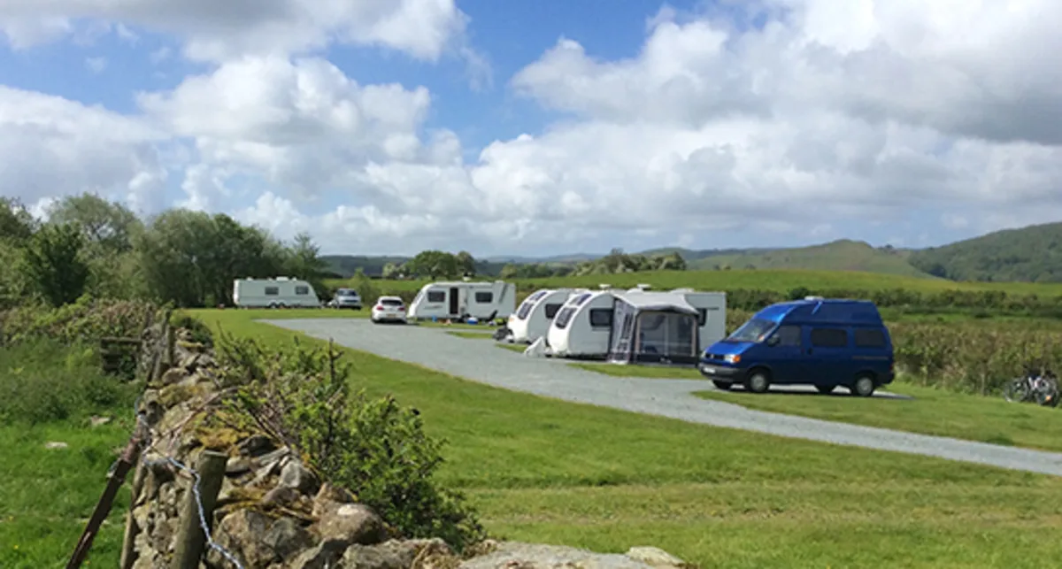
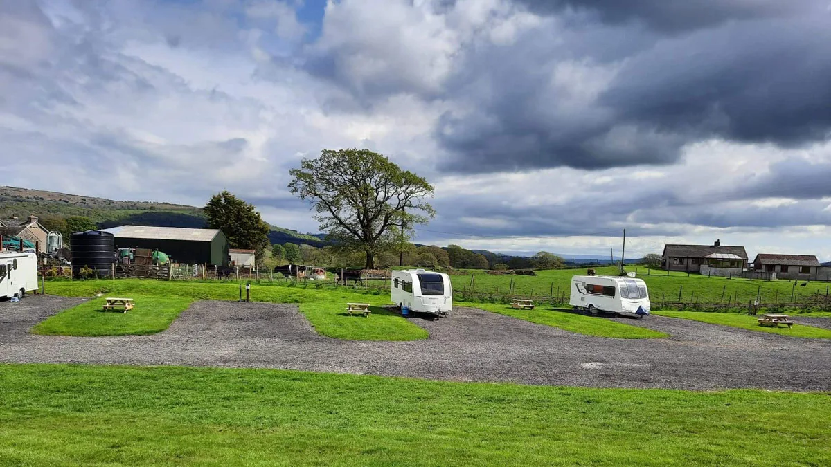
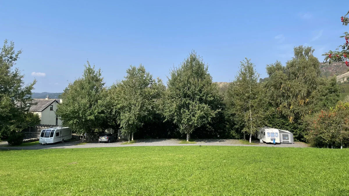
3 Photos
Keen Ground Farm
CampsiteUnited Kingdom
Nearby
- Lake1.1 km
- Beach3.4 km
- Hiking trails8 routes
- Museum600 m
- Castle3.7 km
Water
- Beach 28 nearby
- Beach3.4 km
- Beach3.5 km
- Beach3.5 km
- Lake 68 nearby
- Priest Pot1.1 km
- Esthwaite Water1.3 km
- Smooth Beck Foot1.3 km
- Bathing spot, outdoor pool
- Bathing spot, outdoor pool5.4 km
- Bathing spot, outdoor pool7.3 km
Outdoors
- Hiking trailsCumbria Way · Silurian Way · Carron Crag Trail · The Wray Castle to Latterbarrow Walk, Wray Castle8 routes within 3 km
- Climbing 27 nearby
- Calf How Quarry4.7 km
- Climbing4.7 km
- Climbing4.7 km
- Boats and canoes 11 nearby
- Brockhole bike & boat hire4.7 km
- Watersports at Low Wood Bay5.1 km
- Windermere Quays Boat Hire5.3 km
- Fishing
- Esthwaite Water3.1 km
- Golf and mini golf 9 nearby
- Golf and mini golf4.7 km
- Bowness Pitch & Putt5.3 km
- Critter Creek Adventure Golf5.6 km
Day trips
- Castle
- Wray Castle3.7 km
- Museum 12 nearby
- Hawkshead Grammar School600 m
- Brantwood4.4 km
- The Ruskin Museum4.7 km
- Viewpoint 7 nearby
- Tarn Hows Viewpoint2.1 km
- Tom Ghyll Waterfalls2.7 km
- Viewpoint2.9 km
- Sight 22 nearby
- Hawkshead Courthouse350 m
- Monk Coniston3 km
- Hill Top3.6 km
- Nature reserve, national park
- White Moss Common8.2 km
- Rusland Mosses National Nature Reserve9.5 km
Supplies
- Groceries 5 nearby
- Co-op Food500 m
- Campsite Shop4 km
- W F Hutchinson4.6 km
- Bakery
- Fat Flour Artisan Bakery4.7 km
- Restaurant, café 5 nearby
- The Old Cobblers450 m
- Minstrels Gallery450 m
- Kittchen500 m
- Pharmacy 7 nearby
- Collins and Butterworth500 m
- Windermere Health Centre Pharmacy6 km
- Boots6.4 km
- Petrol station 5 nearby
- Hill's Garage4.7 km
- Shell5.5 km
- Troutbeck Bridge Petrol Station5.7 km
- Railway station
- Windermere6.6 km
- Bus stop
- Tourist Information Centre600 m
Data: © OpenStreetMap contributors (ODbL) · straight-line distance · as of 26 October 2026
Reviews
No reviews yet. Be the first — sign in and share your experience.