


7 Photos
Holme Pierrepont Country Park
CampsiteUnited Kingdom
Nearby
- River300 m
- Lake400 m
- Bathing spot, outdoor pool3 km
- Hiking trails8 routes
- Cycle routes30 routes
Water
- Beach
- Beach7.6 km
- Lake 45 nearby
- West Lake400 m
- Regatta Lake450 m
- Pinders Pond500 m
- River 10 nearby
- River Trent300 m
- Bathing spot, outdoor pool 4 nearby
- Victoria Leisure Centre3 km
- Bathing spot, outdoor pool4.9 km
- Djanogly Community Leisure Centre5.2 km
Outdoors
- Hiking trailsTrent Valley Way · Waymarked Trail 1 · Kingfisher Route · Mallard Route8 routes within 3 km
- Cycle routesThe Big Track · Sneinton Greenway · Lenton Abbey <> City Centre · West Bridgford - Trentside30 routes within 3 km
- Climbing 7 nearby
- High Ropes Course700 m
- Boatyard Boulders2.2 km
- The Depot Climbing Centre3.4 km
- Boats and canoes 6 nearby
- Flow Kayaks Paddlesports Store450 m
- Boats and canoes1000 m
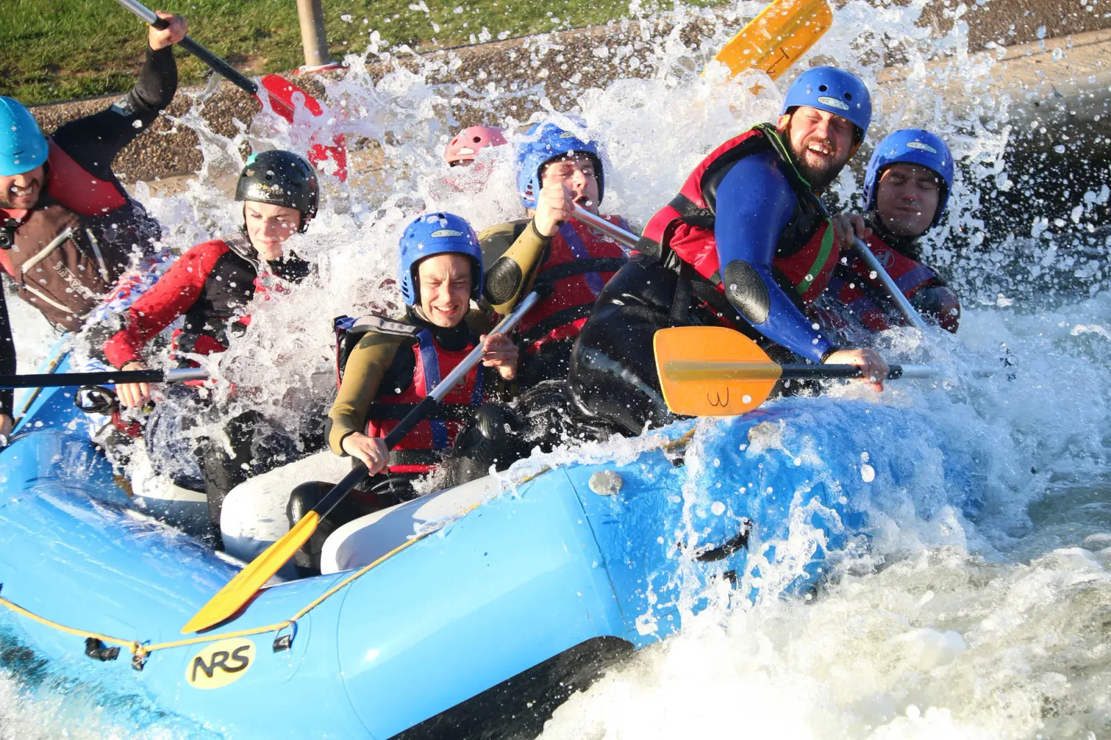
- Holme Pierrepont Whitewater Course1000 m
- Horse riding 5 nearby
- Gertrude Road Riding School450 m
- Lings Lane Riding Stables8.1 km
- Horse riding8.2 km
- Golf and mini golf 29 nearby
- Mini Golf Course750 m
- The Nottinghamshire Golf & Country Club2.3 km
- Edwalton Municipal Golf Course2.6 km
Day trips
- Castle
- Nottingham Castle3.7 km
- Museum 26 nearby
- Nottingham Forest Museum2.2 km
- Green's Windmill & Science Centre2.4 km
- The William Booth Birthplace Museum2.5 km
- Zoo, animal or theme park
- Red Kangaroo11 km
- Viewpoint 10 nearby
- Viewpoint1.6 km
- Viewpoint1.6 km
- Viewpoint1.8 km
- Sight 9 nearby
- Stonebridge City Farm3 km
- City of Caves3.3 km
- Speakers' Corner3.7 km
- Nature reserve, national park 44 nearby
- The Hook950 m
- Skylarks Nature Reserve1.1 km
- Colwick Woods Local Nature Reserve1.4 km
Supplies
- Groceries 170 nearby
- Co-op Food1.2 km
- The Good Weigh1.3 km
- Morrisons1.6 km
- Bakery 14 nearby
- Johnsons Bakery1.9 km
- Birds1.9 km
- The Bakery2.2 km
- Restaurant, café 73 nearby
- Restaurant, café650 m
- The Café650 m
- Wired on Wheels700 m
- Pharmacy 100 nearby
- Singh's Lady Bay Pharmacy1.1 km
- Morrisons Pharmacy1.6 km
- Singh Pharmacy1.9 km
- Petrol station 50 nearby
- Esso1.6 km
- Morrisons1.7 km
- BP2 km
- Railway station 12 nearby
- Netherfield2.8 km
- Nottingham3.1 km
- Carlton3.2 km
- Bus stop 14 nearby
- Caravan Park100 m
- Regatta Way250 m
- Skylarks450 m
Data: © OpenStreetMap contributors (ODbL) · straight-line distance · as of 26 October 2026
Reviews
No reviews yet. Be the first — sign in and share your experience.