
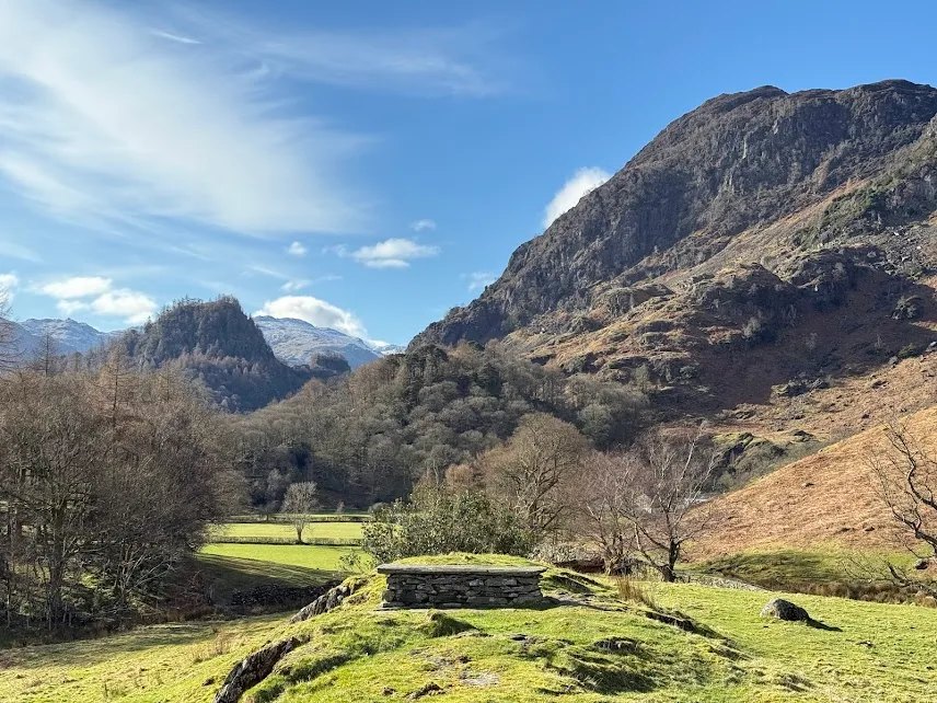
Hollows Farm Campsite
CampsiteUnited Kingdom
- Price
- Kostenpflichtig
Nearby
- River150 m
- Lake2 km
- Beach2.2 km
- Hiking trails9 routes
- Nature reserve, national parkright at the site
Water
- Beach 22 nearby
- Beach2.2 km
- Beach2.2 km
- Beach2.6 km
- Lake 27 nearby
- Derwent Water2 km
- Launchy Tarn2.5 km
- Dalehead Tarn2.5 km
- River 5 nearby
- River Derwent150 m
- Stonethwaite Beck1.5 km
- Newlands Beck2.2 km
Outdoors
- Hiking trailsCumbria Way · Coast to Coast Walk (St Bees to Shap) · Allerdale Ramble · Peace How Walk From High Brandelhow Jetty, North Lakes Outdoors9 routes within 3 km
- Climbing 34 nearby
- Climbing350 m
- Raven Crag4.9 km
- Climbing5.2 km
- Boats and canoes 4 nearby
- Boats and canoes2.8 km
- Boats and canoes6 km
- Keswick Launch Company6.1 km
- Golf and mini golf 4 nearby
- Golf and mini golf6.4 km
- Hope Park Pitch & Putt6.4 km
- Hope Leisure Limited6.5 km
Day trips
- Museum 6 nearby
- Puzzling Place6.8 km
- The Retro Zone7 km
- Derwent Pencil Museum7 km
- Viewpoint 15 nearby
- Viewpoint750 m
- Standing Stones950 m
- Salt Spring1.6 km
- Sight 16 nearby
- Bowder Stone600 m
- Millican Dalton Cave850 m
- Rosthwaite Stepping Stones2 km
- Nature reserve, national park
- Borrowdale Rainforest National Nature ReserveSite lies within it
- Wild Ennerdale6 km
Supplies
- Restaurant, café 6 nearby
- Grange Coffee650 m
- High Lodore Farm Tea Rooms1.9 km
- The Flock-in2.2 km
- Pharmacy
- Boots6.8 km
- Cohens Chemist6.8 km
- Petrol station
- High Hill Garage7.1 km
- Derwent Service Station7.3 km
- Bus stop 6 nearby
- Kings How (N bound)300 m
- Kings How (S bound)300 m
- Bowder Stone (S bound)650 m
Data: © OpenStreetMap contributors (ODbL) · straight-line distance · as of 26 October 2026
Reviews
No reviews yet. Be the first — sign in and share your experience.