
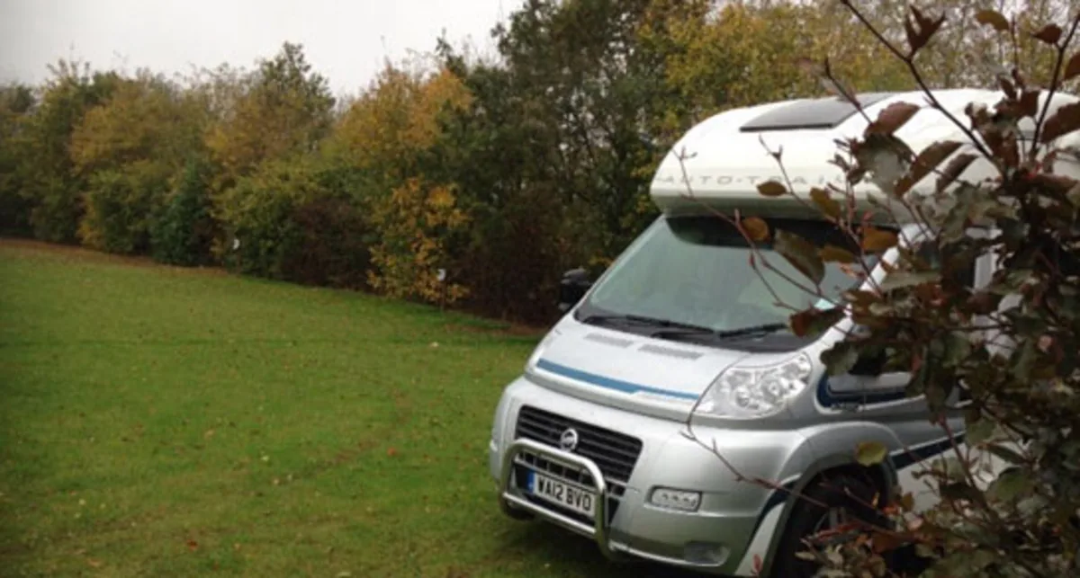
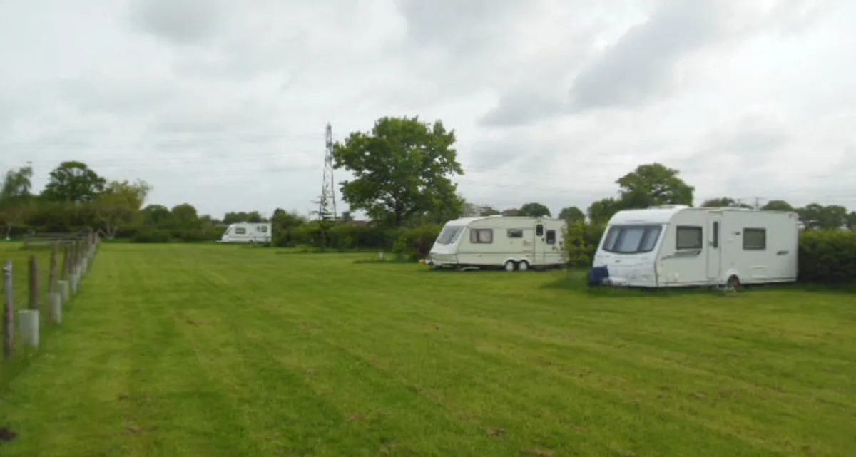
2 Photos
Green Gables
Motorhome stopoverUnited Kingdom
Nearby
- River250 m
- Lake1.4 km
- Bathing spot, outdoor pool1.6 km
- Hiking trails3 routes
- Cycle routes4 routes
Water
- Lake 21 nearby
- Black Horse Pond1.4 km
- Bitterwell Lake2.7 km
- Silverfish Lake3.1 km
- River 11 nearby
- River Frome250 m
- Bathing spot, outdoor pool 8 nearby
- Bathing spot, outdoor pool1.6 km
- Kingswood Leisure Centre3.8 km
- West Country Water Park4.2 km
Outdoors
- Hiking trailsFrome Valley Walkway · The Dramway · Community Forest Path3 routes within 3 km
- Cycle routesAvon Cycleway · Concorde Way · Filton Link · NCN 416: Ring Road Path4 routes within 3 km
- Climbing 12 nearby
- Climbing2.8 km
- Clip 'n' Climb Bristol6.4 km
- Bloc Climbing6.4 km
- Boats and canoes
- Avon Scout & Guide Canoe Club9.1 km
- Horse riding 8 nearby
- Horse riding6.5 km
- Horse riding8.1 km
- Horse riding8.6 km
- Golf and mini golf 26 nearby
- Kendleshire Golf Club1.3 km
- Bristol Golf Centre1.9 km
- Pirate Bay Adventure Golf2 km
Day trips
- Castle
- Black Castle8.2 km
- Blaise Castle9.3 km
- Thornbury Castle Hotel11.9 km
- Museum 25 nearby
- Frenchay Village Museum2.3 km
- Glenside Hospital Museum3.9 km
- Aerospace Bristol5.4 km
- Zoo, animal or theme park
- Bristol Zoo Project7.8 km
- City Mazes11.2 km
- Viewpoint 4 nearby
- Viewpoint3.3 km
- Viewpoint3.3 km
- Viewpoint3.8 km
- Sight 30 nearby
- Concorde 2165.5 km
- Acton Court5.8 km
- St Anne's Well7.1 km
- Nature reserve, national park 19 nearby
- Huckford Quarry LNR900 m
- Monks Pool LNR2.5 km
- Bradley Brook LNR2.5 km
Supplies
- Groceries 97 nearby
- Premier MS-2 Store1000 m
- Westbourne Road Spar1.4 km
- Yoahmac Stores1.6 km
- Bakery 4 nearby
- Lockdown Loaves1.7 km
- Wild Yeast Bakery3 km
- Parsons Bakery4.3 km
- Restaurant, café 32 nearby
- Costa Drive Thru1 km
- Winterbourne Grill1.2 km
- Winterbourne Chinese1.2 km
- Pharmacy 76 nearby
- Westbourne Pharmacy1.6 km
- Shaunak's Pharmacy1.7 km
- Well Pharmacy2.2 km
- Petrol station 47 nearby
- Petrol station900 m
- Blackhorse Garage1.9 km
- Esso2.2 km
- Railway station 16 nearby
- Bristol Parkway2.9 km
- Filton Abbey Wood4.3 km
- Patchway4.6 km
- Bus stop 21 nearby
- Worrells Lane500 m
- Whiteshill Common600 m
- Mill Road700 m
Data: © OpenStreetMap contributors (ODbL) · straight-line distance · as of 26 October 2026
Reviews
No reviews yet. Be the first — sign in and share your experience.