
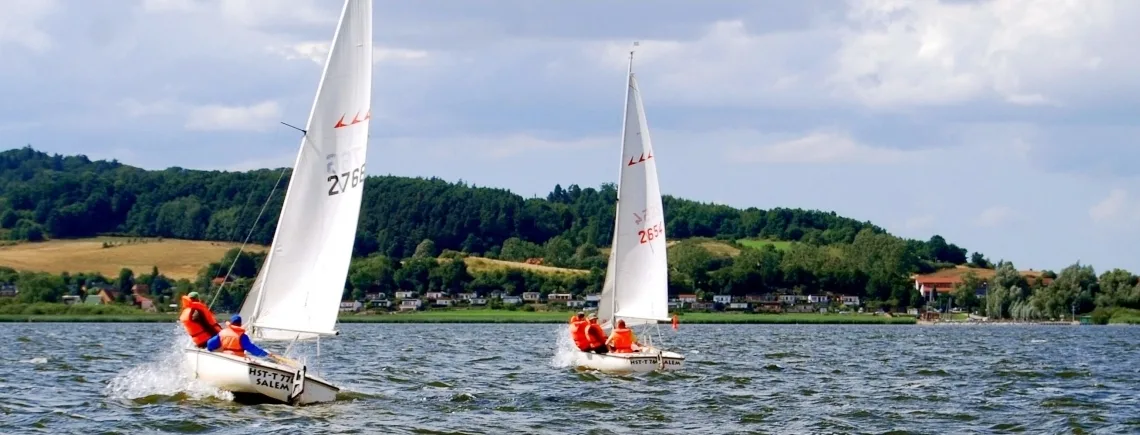
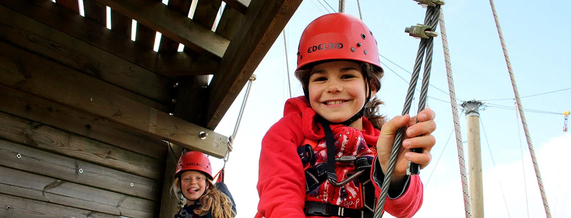
6 Photos
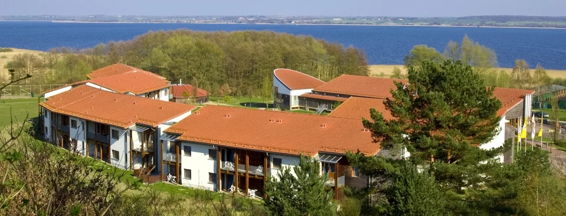
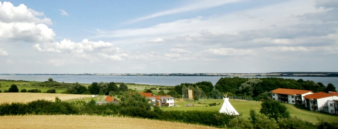
Ferienland Salem
CampsiteGermany
Nearby
- Lake250 m
- Beach400 m
- River2.5 km
- Cycle routes1 route
- Nature reserve, national park6.6 km
Water
- Beach 11 nearby
- Beach400 m
- Beach2 km
- Beach2.9 km
- Lake 6 nearby
- Kummerower See250 m
- Koi-Teich7.2 km
- Vorderteich8.7 km
- River
- Teterower Peene2.5 km
- Peene2.6 km
- Bathing spot, outdoor pool
- Peenebad Malchin8 km
Outdoors
- Cycle routesPeenetal Rundweg1 route within 3 km
- Boats and canoes 4 nearby
- Kanu Basis Salem200 m
- Boats and canoes3.9 km
- Wasserfreizeit Bremer6.5 km
- Horse riding
- Horse riding8.4 km
- Horse riding8.5 km
- Golf and mini golf 4 nearby
- Mingolfanlage (4 Bahnen )8.5 km
- Golfplatz Teschow10.8 km
- Driving Range12.5 km
Day trips
- Castle 11 nearby
- Gutshaus Schwarzenhof7.6 km
- Gut Groß Markow8.5 km
- Gut Pohnstorf8.6 km
- Museum 4 nearby
- Museum Malchin6.8 km
- uns lütt museum11 km
- Klosterkirche Dargun11.1 km
- Viewpoint 4 nearby
- Viewpoint300 m
- Heesterberg700 m
- Viewpoint4.2 km
- Sight
- Abenteuer Peenetal8.2 km
- Nature reserve, national park
- Stauchmoräne nördlich Remplin6.6 km
Supplies
- Groceries 4 nearby
- E neukauf Thimian3.3 km
- Landkauf3.5 km
- Groceries3.5 km
- Bakery
- Zingelmann3.3 km
- Restaurant, café
- Arche Noah (im Kolping-Ferienland)200 m
- Pharmacy 4 nearby
- Rats-Apotheke3.3 km
- Neue Apotheke am Markt7.1 km
- Schwanen-Apotheke7.5 km
- Petrol station
- Hoyer4 km
- Aral6.8 km
- Sprint Tankstelle Malchin7 km
- Railway station
- Malchin6.8 km
- Bus stop 2 nearby
- Salem, Gaststätte750 m
Data: © OpenStreetMap contributors (ODbL) · straight-line distance · as of 26 October 2026
Reviews
No reviews yet. Be the first — sign in and share your experience.