


8 Photos
Embers
CampsiteUnited Kingdom
Nearby
- River2 km
- Lake3.2 km
- Hiking trails15 routes
- Cycle routes3 routes
- Nature reserve, national park350 m
Water
- Beach
- Beach8.5 km
- Lake 26 nearby
- Slurry Pit3.2 km
- Mill Pond3.6 km
- The Lake4.2 km
- River 4 nearby
- River Mole2 km
- Bathing spot, outdoor pool
- Bathing spot, outdoor pool8.7 km
Outdoors
- Hiking trailsNorth Downs Way (Eastern) · Thames Down Link · Mole Gap Trail · Norbury Park walk (SCC)15 routes within 3 km
- Cycle routesSurrey Cycleway3 routes within 3 km
- Climbing
- White Spider Indoor Climbing13.6 km
- Blue Spider14.1 km
- Rock-Up14.6 km
- Fishing
- Bury Hill Fisheries4.2 km
- Horse riding 50 nearby
- Horse riding600 m
- Horse riding1.2 km
- Horse riding1.5 km
- Golf and mini golf 62 nearby
- Effingham Golf Club2.4 km
- Beaverbrook Golf Club4.1 km
- Betchworth Park Golf Club4.6 km
Day trips
- Castle 4 nearby
- Betchworth Castle5.4 km
- Reigate Castle11.1 km
- Castle Keep11.3 km
- Museum 17 nearby
- Dorking Museum3.7 km
- Leatherhead Museum of Local History4.7 km
- Shere Museum8.1 km
- Zoo, animal or theme park 5 nearby
- Chessington World of Adventures10.3 km
- Trail of the Kings10.4 km
- Amazu10.6 km
- Viewpoint 21 nearby
- Polesdon Lacey Photo Post #1400 m
- Polesdon Lacey Photo Post #2900 m
- Viewpoint1.3 km
- Sight 33 nearby
- Polesden Lacey Estate100 m
- Polesden Lacey600 m
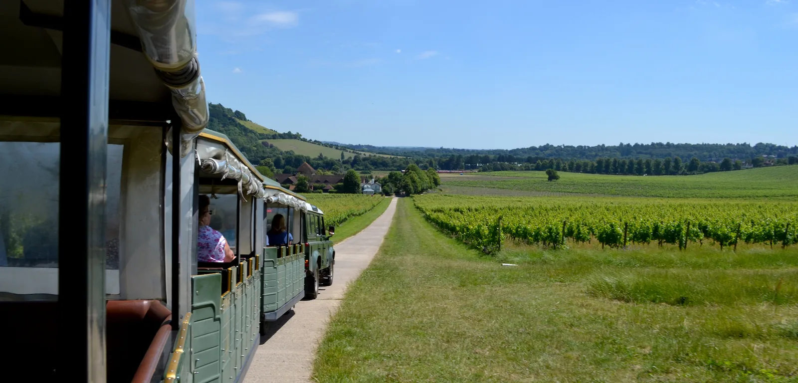
- Denbies Vineyard Visitor Centre2.5 km
- Nature reserve, national park 30 nearby
- Norbury Park350 m
- Great Bookham Common2.7 km
- White Downs2.9 km
Supplies
- Groceries 30 nearby
- Londis1.9 km
- Bottle & Basket2.1 km
- Spar2.1 km
- Bakery 4 nearby
- The Bakery2.2 km
- Pearce's Bakers2.3 km
- the bakery [Watsons]4.2 km
- Restaurant, café 21 nearby
- Restaurant, café450 m
- Cowshed Coffee Shop600 m
- Granary Cafe600 m
- Pharmacy 22 nearby
- Grove Pharmacy2.1 km
- Boots2.3 km
- Superdrug3.8 km
- Petrol station 23 nearby
- Valero1.9 km
- Esso2.1 km
- Dorking Service Station3.8 km
- Railway station 16 nearby
- Box Hill & Westhumble2.6 km
- Dorking West3.1 km
- Dorking3.5 km
- Bus stop
- Polesden Lacey Grounds550 m
Data: © OpenStreetMap contributors (ODbL) · straight-line distance · as of 26 October 2026
Reviews
No reviews yet. Be the first — sign in and share your experience.