
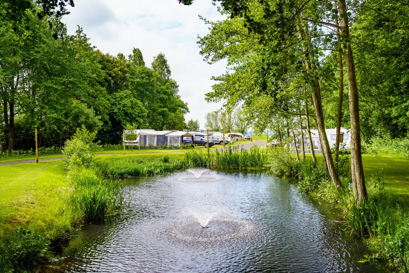
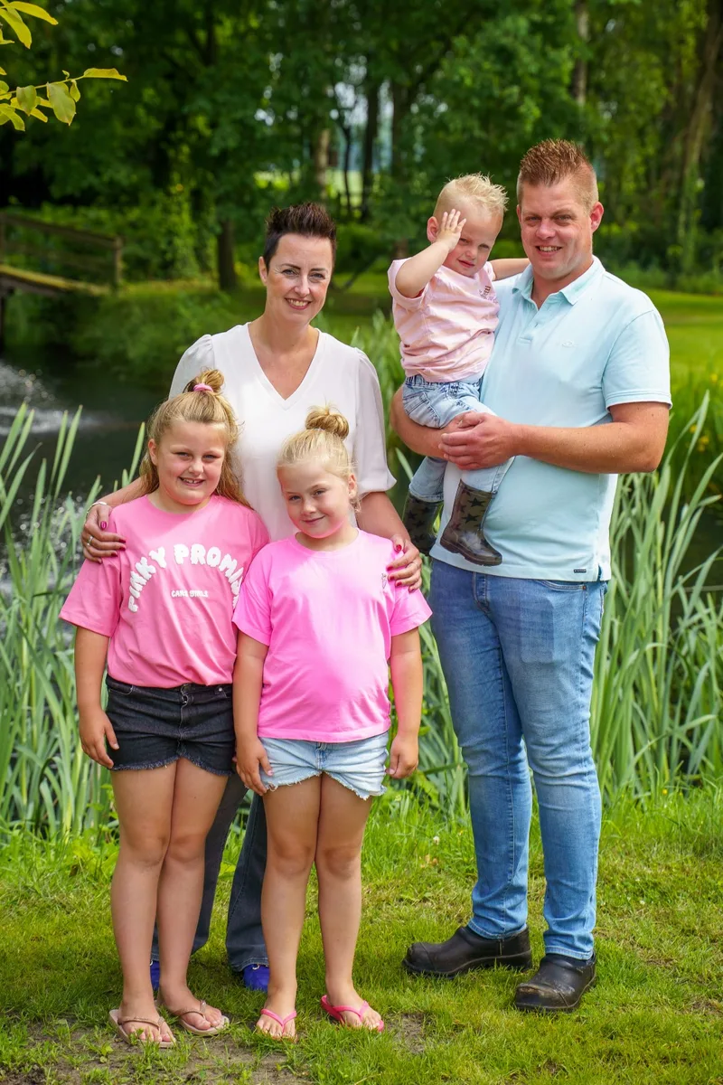
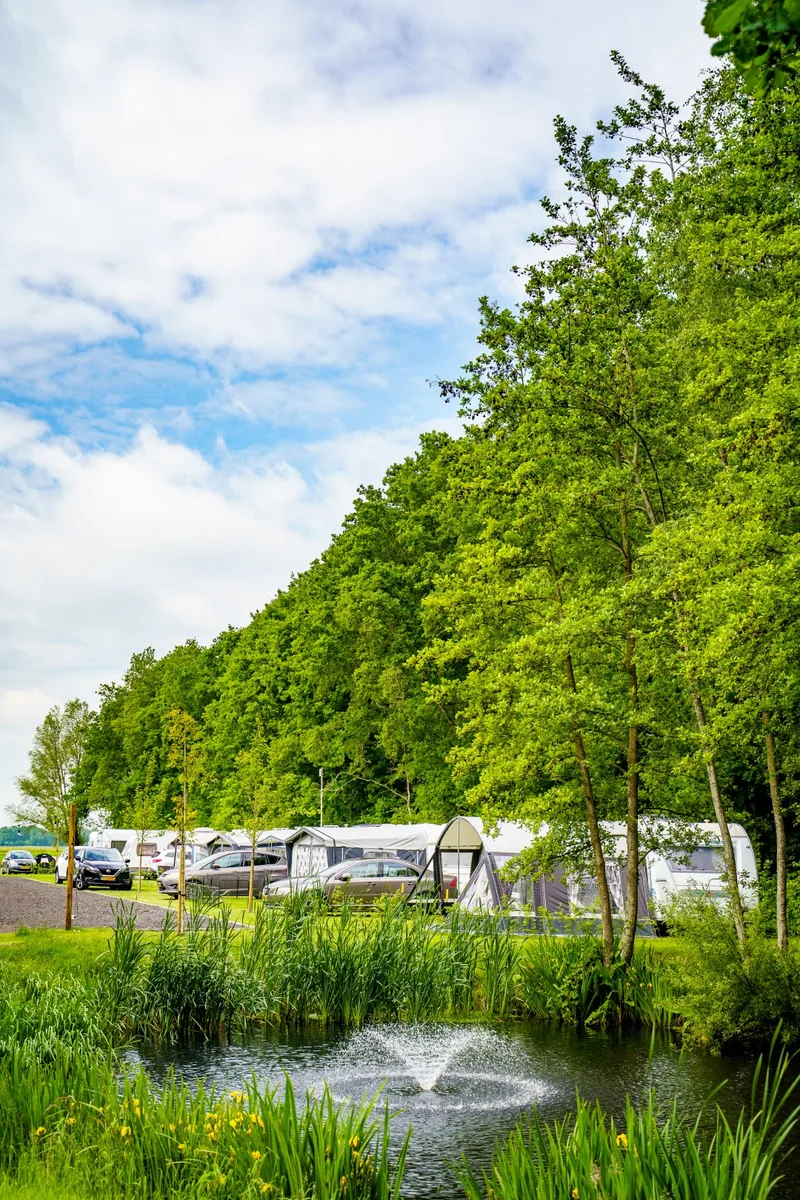
3 Photos
De Lanter Fanter
CampsiteNetherlands
Nearby
- Lake3 km
- Bathing spot, outdoor pool4.2 km
- Hiking trails21 routes
- Cycle routes9 routes
- Museum4.1 km
Water
- Beach 15 nearby
- Beach5.2 km
- Beach5.4 km
- Beach5.5 km
- Lake 9 nearby
- Kiesgrube Wielen3 km
- Wildwater Kanobaan4.8 km
- De Oldemeijer6.1 km
- Bathing spot, outdoor pool 4 nearby
- Zwembad De Slag4.2 km
- Zwembad Zandstuve5 km
- Hattemat8.6 km
Outdoors
- Hiking trailsWNW Vechtdal - Bergentheim/Oud Bergentheim - paarse route · WNW Vechtdal - Bergentheim - rode route · WNW Vechtdal - verbinding H25-J17 · WNW Vechtdal - Bruchterveld -rode route21 routes within 3 km
- Cycle routes9 routes within 3 km
- Climbing
- Climbing10.5 km
- Boats and canoes
- Kanovereniging Hardenberg-Vecht4.9 km
- Horse riding
- Manege Hoogenweg3.9 km
- LR & PC Sallandruiters5.5 km
- Golf and mini golf 5 nearby
- Glow Jungle Golf5 km
- Golf and mini golf7.3 km
- Golf and mini golf10.5 km
Day trips
- Castle
- Kasteel Eerde14.3 km
- Museum 14 nearby
- Herbert4.1 km
- 't Stadhuus5.2 km
- Klooster Sibculo5.9 km
- Zoo, animal or theme park 8 nearby
- Zoo, animal or theme park5.1 km
- Kinderboerderij Baalder5.2 km
- Ponypark City7.4 km
- Viewpoint
- Viewpoint4.1 km
- Sight
- Schaapskooi8.3 km
- Meiboom8.8 km
- Nature reserve, national park 9 nearby
- Engbertsdijksvenen4.5 km
- Boswachterij Hardenberg5.6 km
- Vecht- en Beneden-Reggegebied6.3 km
Supplies
- Groceries 4 nearby
- PLUS2.2 km
- SPAR4.5 km
- Jumbo4.9 km
- Bakery
- Slatman4.7 km
- Restaurant, café
- Rustpunt Bruchterveld1.2 km
- Rustpunt De Bessentuin2 km
- Pharmacy
- Apotheek Hardenberg4.5 km
- Apotheek Kooiker5.2 km
- Petrol station 21 nearby
- AVIA XPress Bergentheim1.7 km
- Fieten Olie3.2 km
- Peut3.3 km
- Railway station 4 nearby
- Hardenberg4.6 km
- Mariënberg5.7 km
- Gramsbergen8.8 km
- Bus stop 3 nearby
- Dorpshuis800 m
- Meester Holtropstraat850 m
Data: © OpenStreetMap contributors (ODbL) · straight-line distance · as of 26 October 2026
Reviews
No reviews yet. Be the first — sign in and share your experience.