
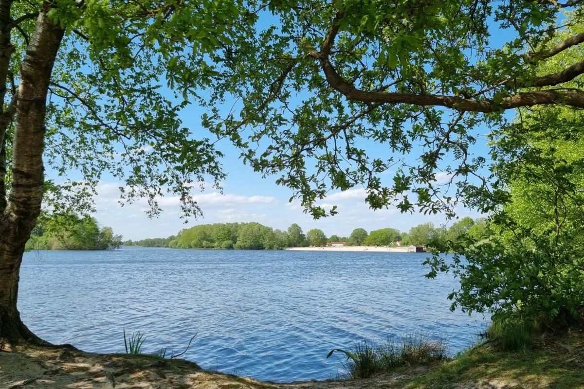
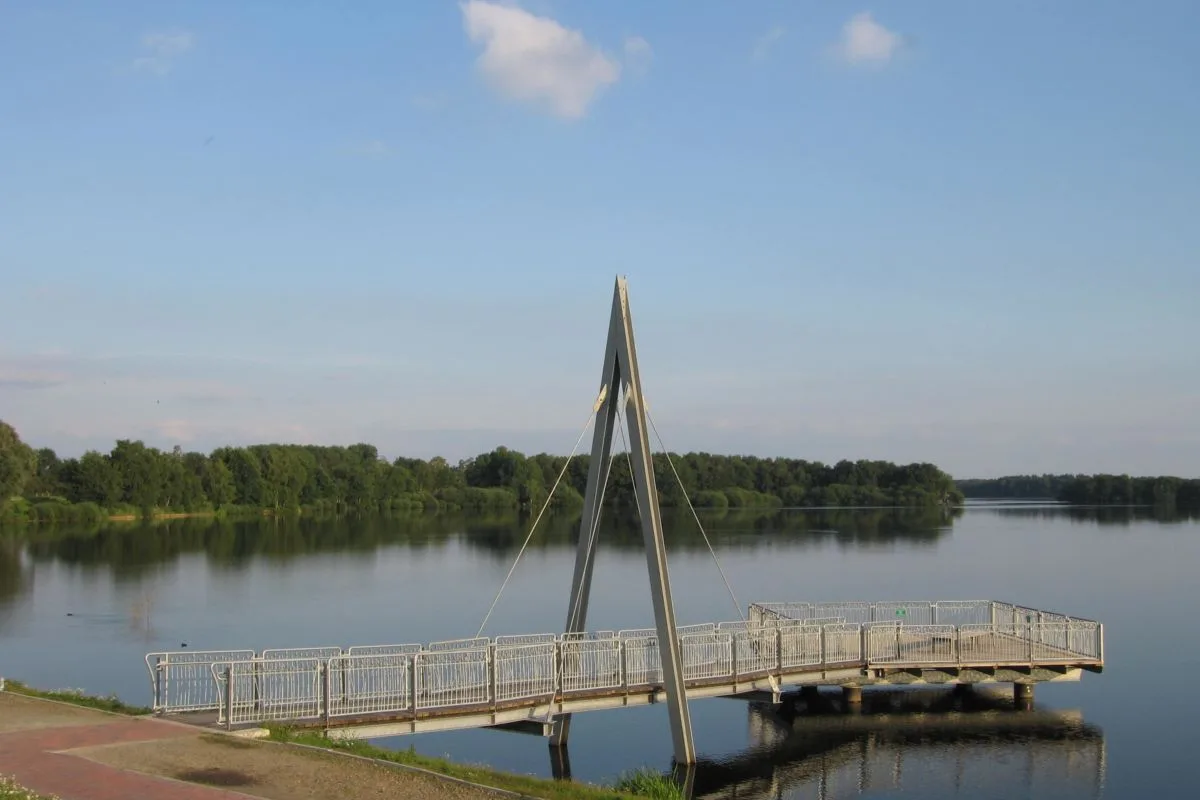


4 Photos
Campingplatz Wilken
CampsiteGermany
Nearby
- Lake100 m
- River250 m
- Beach350 m
- Hiking trails1 route
- Cycle routes27 routes
Water
- Beach 5 nearby
- Badestelle Nord350 m
- Großer Strand1.8 km
- Kleiner Strand2.2 km
- Lake 7 nearby
- Thülsfelder Talsperre100 m
- Igelriede350 m
- Weißhandgibbons2.6 km
- River 5 nearby
- Soeste250 m
- Bathing spot, outdoor pool 4 nearby
- Hallenbad Dwergter Sand5.7 km
- Hallenbad Garrel7 km
- Hallenbad Bösel7.8 km
Outdoors
- Hiking trailsGeestweg1 route within 3 km
- Cycle routesBoxenstopp-Route · Cloppenburger Radtour · Radtour durch Geest und Moor · Friesoythe (43) - Friesoythe (61)27 routes within 3 km
- Horse riding
- Stall Duen4.5 km
- Reit- und Fahrverein Bösel e.V.7.5 km
- Golf and mini golf 4 nearby
- Golf and mini golf2.1 km
- 18-Loch Meisterschaftsplatz4.2 km
- Öffentlicher 9-Loch Platz4.7 km
Day trips
- Castle
- Burg Cloppenburg12.5 km
- Museum 9 nearby
- Dat Heimathuus8.1 km
- Postgeschichtliches Museum10.6 km
- Heimatmuseum11.6 km
- Zoo, animal or theme park 4 nearby
- Tier und Freizeitpark Thüle2.4 km
- Am Pallert8.1 km
- Molli Bär Spielpark9 km
- Viewpoint
- Viewpoint350 m
- Sight
- Granitfindling5.1 km
- Gehlenborg'sche Scheune6.6 km
- Dicker Stein9.2 km
- Nature reserve, national park 5 nearby
- Talsperre Thülsfeld50 m
- FFH Heiden und Moore an der Talsperre Thülsfeld450 m
- Markatal6.6 km
Supplies
- Restaurant, café 13 nearby
- Restaurant, café250 m
- Hotel Seeblick - Restaurant, Café250 m
- Restaurant, café350 m
- Pharmacy 6 nearby
- Heide-Apotheke6.7 km
- Marien-Apotheke6.9 km
- Rosen-Apotheke7.8 km
- Petrol station 18 nearby
- ESSO3.3 km
- GS energie5.8 km
- Petrol station6.3 km
- Railway station
- Garrel5.8 km
- Varrelbusch Flugplatz7.6 km
- Varrelbusch-Staatsforsten8.6 km
- Bus stop 3 nearby
- Thülsfelde, Göken250 m
- Thülsfelde Krzg. B 72900 m
Data: © OpenStreetMap contributors (ODbL) · straight-line distance · as of 26 October 2026
Reviews
No reviews yet. Be the first — sign in and share your experience.