


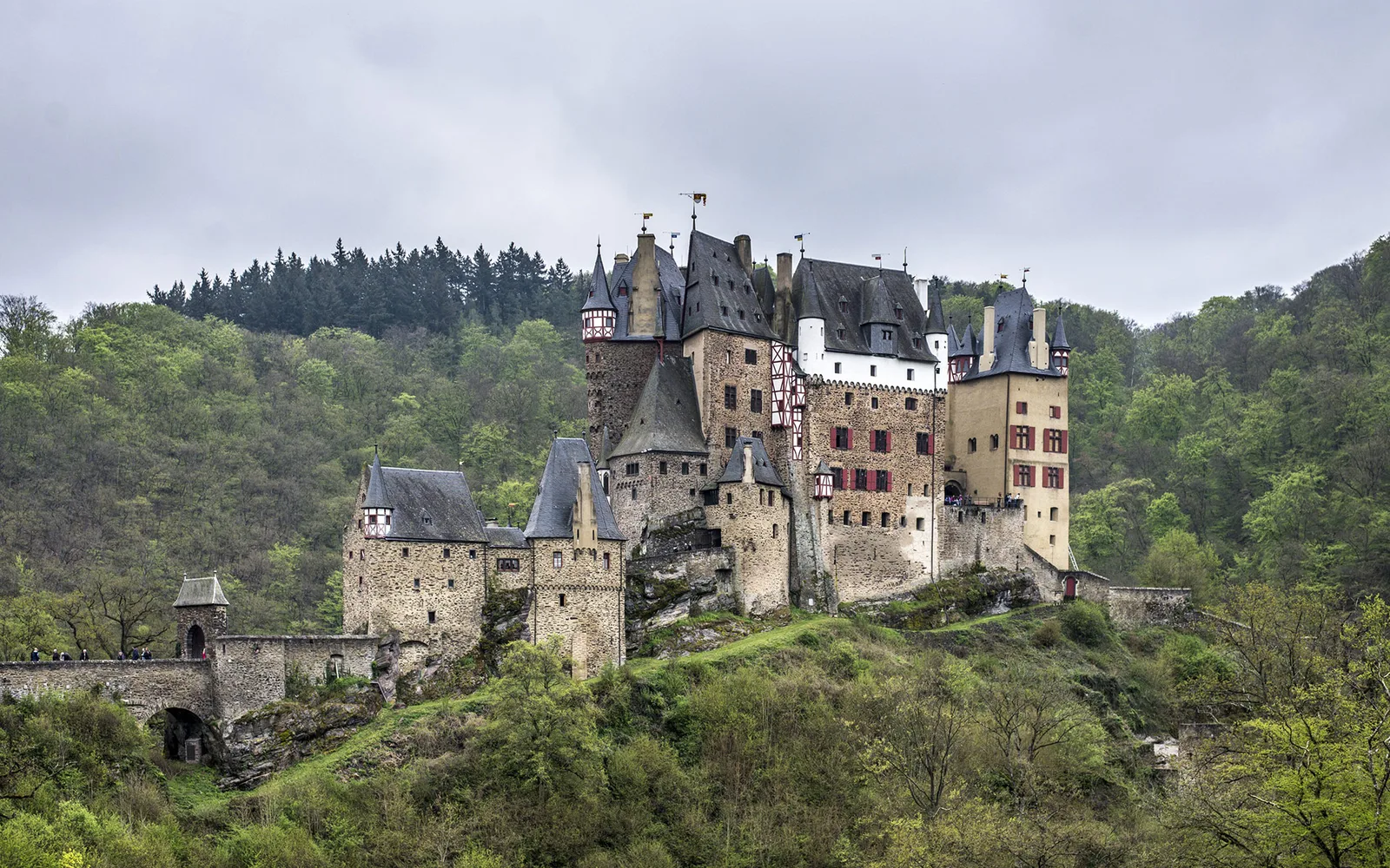
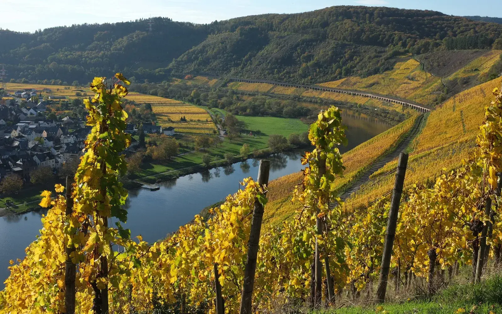
8 Photos
Campingplatz Moselland
CampsiteGermany
Nearby
- River100 m
- Beach2.1 km
- Lake3.8 km
- Hiking trails8 routes
- Cycle routes3 routes
Water
- Beach 7 nearby
- Beach2.1 km
- Beach7.3 km
- Beach7.6 km
- Lake 16 nearby
- Müllenweiher3.8 km
- Mühlgraben3.8 km
- Siefen4 km
- River 5 nearby
- Mosel100 m
- Alfbach650 m
- Ueßbach2.9 km
- Bathing spot, outdoor pool
- Hallenbad5.2 km
- Freibad Kröv7.2 km
Outdoors
- Hiking trailsMoselhöhenweg (Eifel) · Rundwanderweg Briedeler Schweiz · Mosel-Camino · Alftalhöhenweg8 routes within 3 km
- Cycle routesMosel-Radweg · Vulkan-Rad-Route Eifel · Saar-Mosel-Main [Trier - Koblenz]3 routes within 3 km
- Climbing
- Mosel Adventure Forest6.3 km
- Boats and canoes
- Mosel-Kanutours7.6 km
- Horse riding 3 nearby
- Ausbildungsstall Riecke7.9 km
- Reit- und Zuchtverein Alftal8.2 km
- Golf and mini golf 12 nearby
- Golf and mini golf5.2 km
- Golf and mini golf5.2 km
- Golf and mini golf5.2 km
Day trips
- Castle 14 nearby
- Marienburg1.9 km
- Burg Arras2.3 km
- Heideburg2.6 km
- Museum 22 nearby
- Burgmuseum Arras2.3 km
- Dorfmuseum2.9 km
- Wein-und Heimatmuseum4.8 km
- Zoo, animal or theme park
- Zoo, animal or theme park5 km
- Wild- und Freizeitpark Klotten14.2 km
- Viewpoint 40 nearby
- Viewpoint450 m
- Viewpoint450 m
- Viewpoint500 m
- Sight 35 nearby
- Wassertretbecken Pünderich1.6 km
- Spitting Man on Bridge2.8 km
- Moselfischerei Schneider frischer Aal2.8 km
- Nature reserve, national park 4 nearby
- Insel Taubengrün7.1 km
- Ediger Laach7.3 km
- Falkenlay8.5 km
Supplies
- Groceries 6 nearby
- Nachbar.shop1.2 km
- EDEKA2.5 km
- Aldi Süd3 km
- Bakery 8 nearby
- Greis1.4 km
- Die Lohner's2.5 km
- Bakery2.6 km
- Restaurant, café 55 nearby
- WeinBergHotel Nalbach750 m
- Hotel Zur Linde900 m
- Wein- & Sektgut Burg-Schneider1000 m
- Pharmacy 6 nearby
- Brücken-Apotheke2.5 km
- Dr. Hückstädts Apotheke3.1 km
- PalmApotheke3.2 km
- Petrol station 11 nearby
- Petrol station2.9 km
- Globus2.9 km
- Petrol station4.4 km
- Railway station 8 nearby
- Reil850 m
- Bullay (DB)2.8 km
- Bengel4.7 km
- Bus stop
- Reil Bahnhof900 m
Data: © OpenStreetMap contributors (ODbL) · straight-line distance · as of 26 October 2026
Reviews
No reviews yet. Be the first — sign in and share your experience.