


8 Photos
Campinginsel Sonnenwerth
CampsiteGermany
Nearby
- River100 m
- Bathing spot, outdoor pool4.3 km
- Hiking trails13 routes
- Cycle routes4 routes
- Castle2.1 km
Water
- Beach
- Beach7.7 km
- Beach8 km
- Beach8.1 km
- Lake
- Zisterne8.4 km
- River 5 nearby
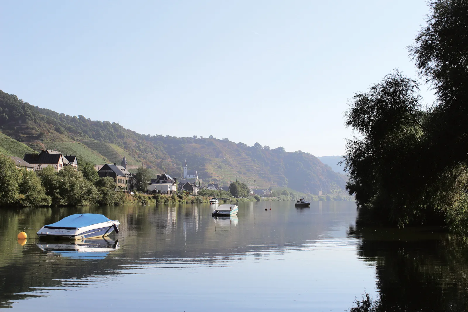
- Mosel100 m
- Bathing spot, outdoor pool
- Erlebnisbad Münstermaifeld4.3 km
Outdoors
- Hiking trailsSaar-Hunsrück-Steig · Moselhöhenweg (Eifel) · Traumpfad Bergschluchtenpfad Ehrenburg · Mosel-Camino13 routes within 3 km
- Cycle routesMosel-Radweg · Schinderhannes Untermosel Radweg · Saar-Mosel-Main [Trier - Koblenz] · Mosel-Maifeld-Radroute4 routes within 3 km
- Boats and canoes
- Wassersportclub Untermosel e.V.9.5 km
- Golf and mini golf 7 nearby
- Indoor Abenteuer Golf Kobern-Gondorf9.4 km
- Golf and mini golf9.5 km
- Minigolfanlage9.7 km
Day trips
- Castle 16 nearby
- Burg Bischofstein2.1 km
- Ehrenburg3.5 km
- Burghaus der Herren von Wildberg4 km
- Museum 13 nearby
- Archäologisches Museum Maifeld4.2 km
- Heimat- und Erlebnismuseum Münstermaifeld4.2 km
- Historisches Wein- & Heimatmuseum Gondorf8.3 km
- Zoo, animal or theme park 9 nearby
- Köhler11.7 km
- Wildgehege Sikahirsch13.1 km
- Wildschweine13.2 km
- Viewpoint 57 nearby
- Kreuzlay750 m
- Moselpanorama - Säßchen950 m
- Viewpoint1.2 km
- Sight 17 nearby
- Traubenkelter2.4 km
- QUAD - Venture2.5 km
- Beinhaus4 km
- Nature reserve, national park 5 nearby
- Ausoniusstein4.1 km
- Reiherschussinsel bei Lehmen5.9 km
- Feuchtgebiete im Nothbachtal6.9 km
Supplies
- Groceries
- EDEKA Schütz3.3 km
- Lidl4.7 km
- NORMA4.8 km
- Bakery 4 nearby
- Belda Café Conditorei2 km
- Die Lohner’s3.3 km
- Barth4.6 km
- Restaurant, café 25 nearby
- Winzerhof Gietzen250 m
- Hatzenporter Paradies350 m
- Pizzeria Rosengarten400 m
- Pharmacy 4 nearby
- Maifeld-Apotheke4.4 km
- Ahorn-Apotheke9.2 km
- Johannes-Apotheke9.5 km
- Petrol station 8 nearby
- Petrol station2 km
- Petrol station2.8 km
- Tankstelle Loch4 km
- Railway station 8 nearby
- Hatzenport500 m
- Löf2.6 km
- Kattenes4 km
- Bus stop
- Dattel350 m
- Hatzenport Bahnhof400 m
- Alte Schule1000 m
Data: © OpenStreetMap contributors (ODbL) · straight-line distance · as of 26 October 2026
Reviews
No reviews yet. Be the first — sign in and share your experience.