
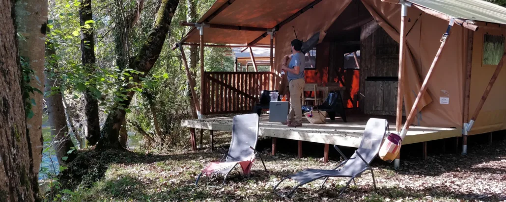
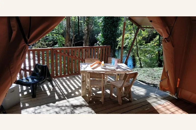
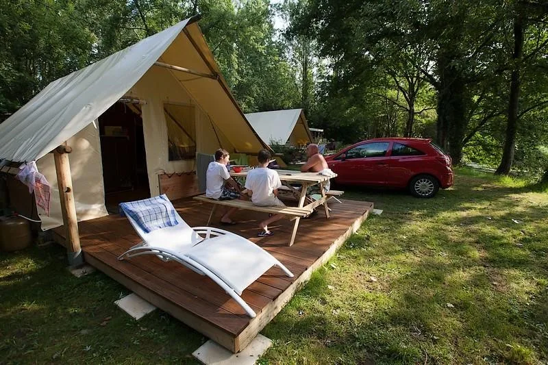
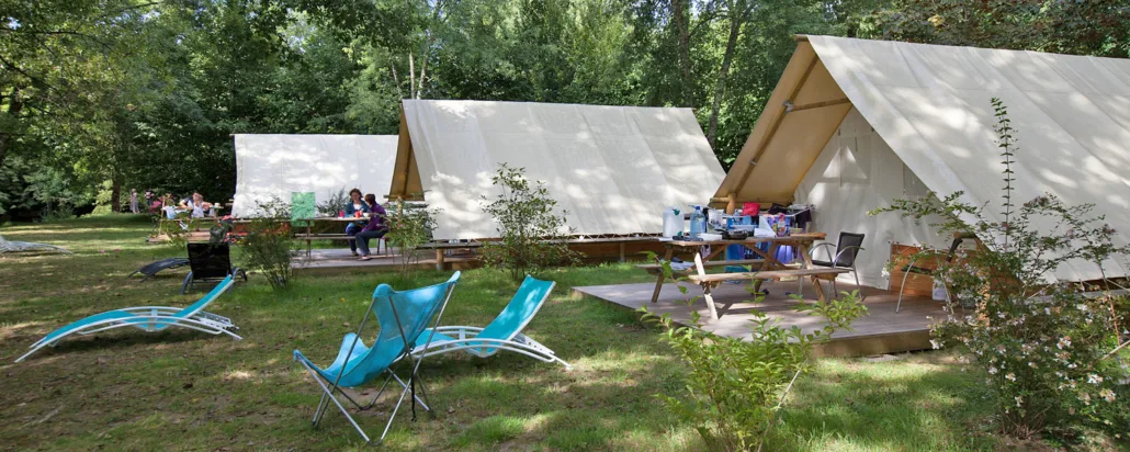
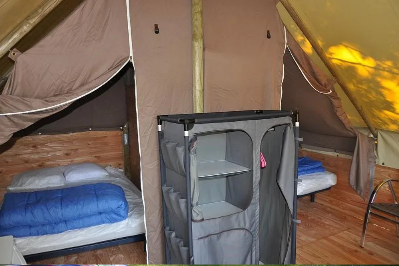
9 Photos
Camping Brantôme Peyrelevade
CampsiteFrance
Nearby
- River100 m
- Beach100 m
- Lake1.3 km
- Hiking trails5 routes
- Cycle routes1 route
Water
- Beach
- Beach100 m
- Beach800 m
- Lake
- Fontaine Médicis1.3 km
- River 8 nearby
- La Dronne100 m
- La Côle2.1 km
- Bathing spot, outdoor pool
- Bathing spot, outdoor pool7.3 km
Outdoors
- Hiking trailsChemin Harrison Barker · De la Manche aux Pyrénées 15, Puymoyen - Champcevinel · Boucle de L'Abaye · Liaison Brantôme - Champagnac-de-Belair5 routes within 3 km
- Cycle routesMarennes / Barbézieux / St-Pardoux1 route within 3 km
- Climbing 4 nearby
- Grand Roc8.1 km
- La Forge du Boulou8.7 km
- Le Breuil11.2 km
- Boats and canoes
- Brantome Canoe950 m
- Allo Canoës1.6 km
- Canoé Bourdeilles Loisir7.6 km
- Fishing
- Fishing4.7 km
- Horse riding
- Cheval Nomad'7.4 km
- Golf and mini golf
- Mini Golf1.1 km
- Golf and mini golf12.5 km
Day trips
- Castle 34 nearby
- Château de Puymarteau650 m
- Château de la Hierce850 m
- Château des Roches1.6 km
- Museum
- Bimbillou Parc500 m
- Musée Fernand Desmoulin1.2 km
- Viewpoint
- Viewpoint1.1 km
- Sight 5 nearby
- L'Arche de Noé1.2 km
- Les Croisières de Brantôme1.2 km
- Parcours Troglodytique1.3 km
Supplies
- Groceries 6 nearby
- Total Access800 m
- Poterie La Terrasse de Lotta1.1 km
- Spar1.1 km
- Bakery
- Boulangerie Gandais750 m
- Aux Pains de Brantôme1.1 km
- Au Royaume Du Pain4.5 km
- Restaurant, café 20 nearby
- Les Saveurs1 km
- Au Fil du Temps1 km
- L'Authentique1 km
- Pharmacy
- Pharmacie du Vert Galant1 km
- Petrol station
- Carrefour Market700 m
- Carrefour2.6 km
- Bus stop
- Bus stop850 m
- Brantôme Gendarmerie950 m
Data: © OpenStreetMap contributors (ODbL) · straight-line distance · as of 26 October 2026
Reviews
No reviews yet. Be the first — sign in and share your experience.