
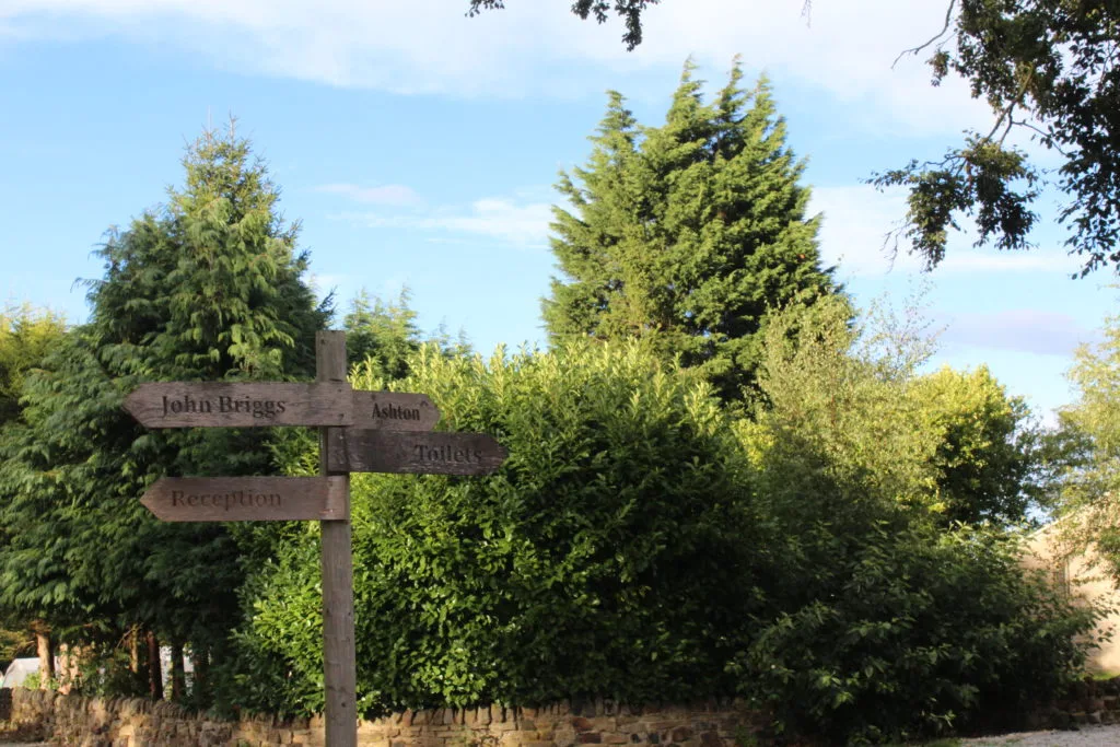
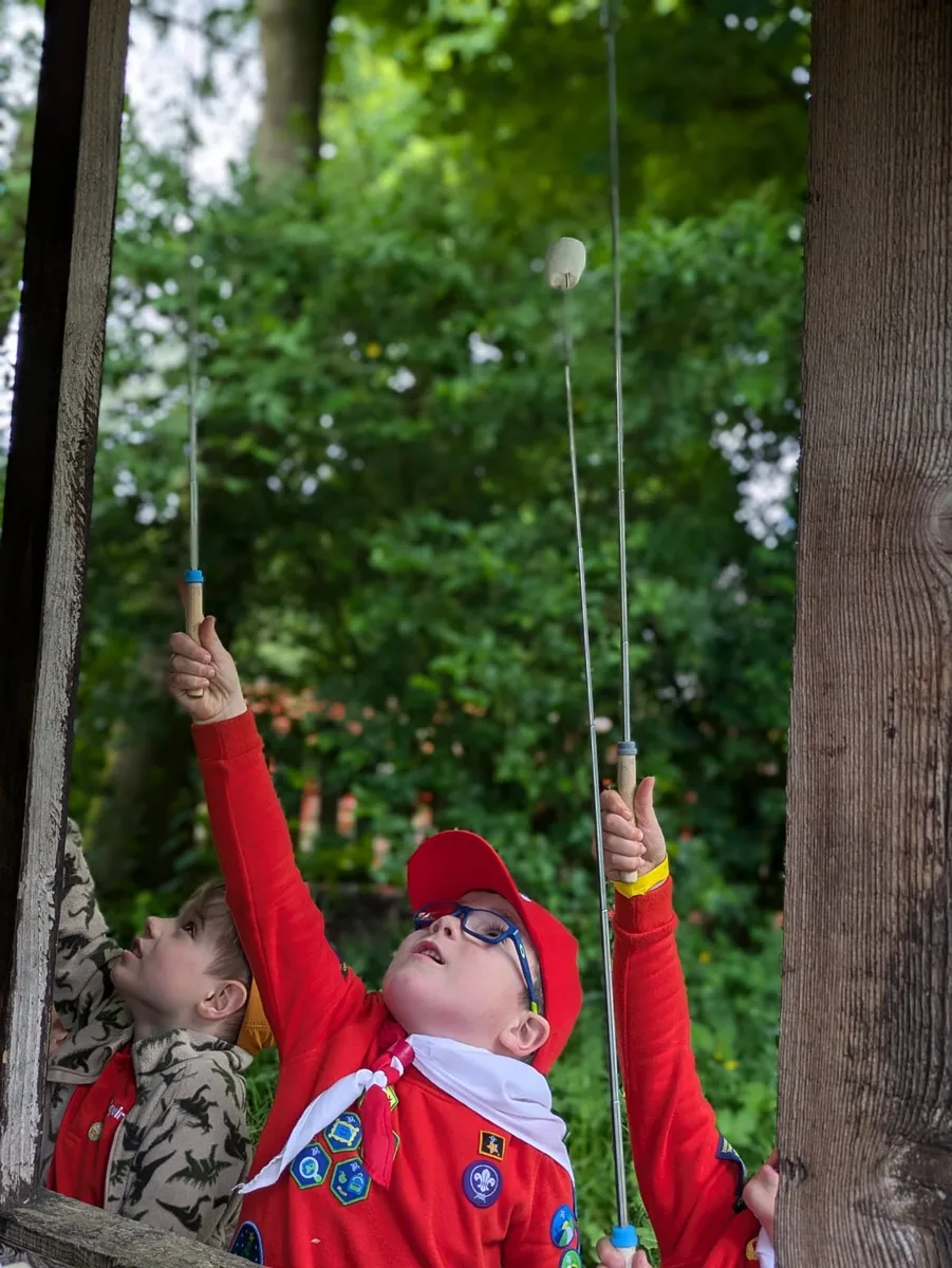
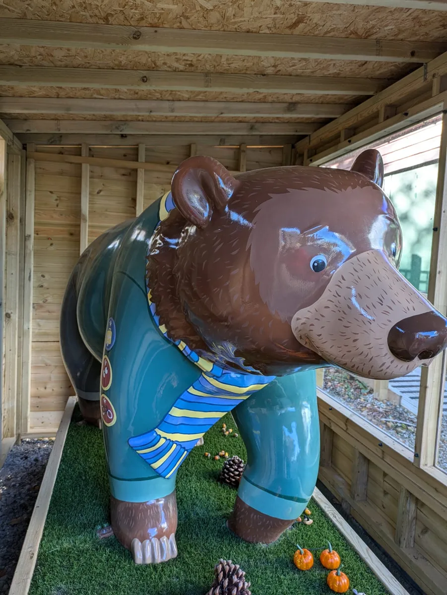

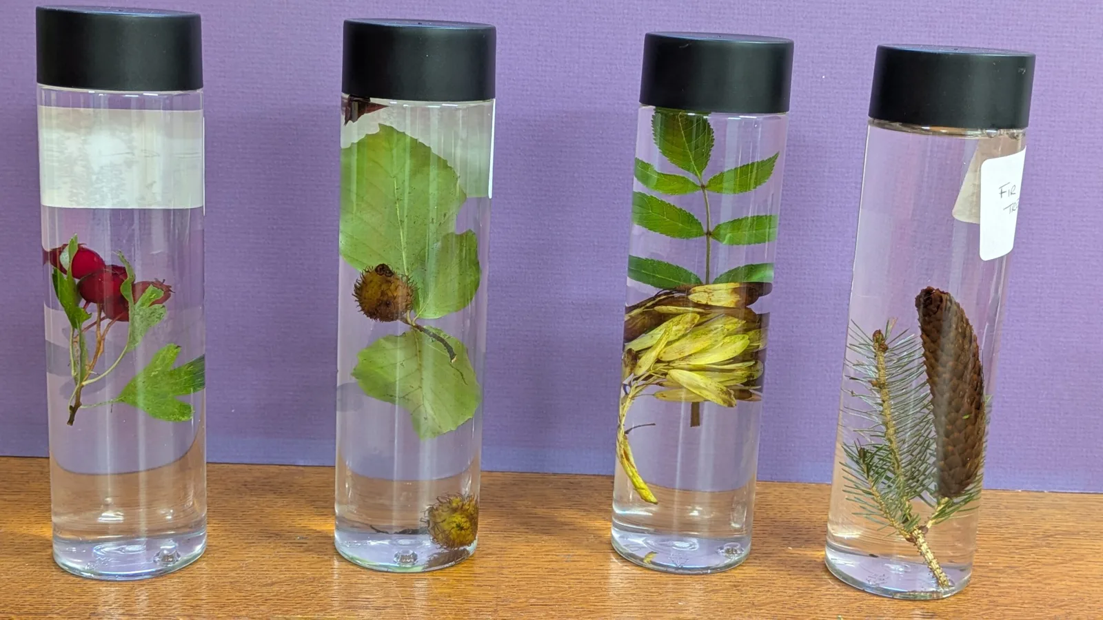
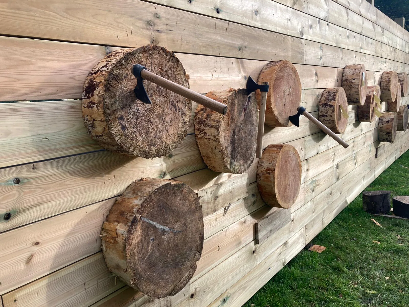
7 Photos
Bramhope Scout Camping Ground
CampsiteUnited Kingdom
Nearby
- River2.4 km
- Lake2.5 km
- Hiking trails4 routes
- Cycle routes1 route
- Nature reserve, national park850 m
Water
- Beach
- Beach8.2 km
- Lake 35 nearby
- Yeadon Tarn2.5 km
- Knotford Nook Gravel Workings2.6 km
- Paul's Pond3.1 km
- River
- River Wharfe2.4 km
- River Washburn3 km
- Bathing spot, outdoor pool 5 nearby
- Bramley Baths7.8 km
- Eccleshill Pool7.9 km
- Kirkstall Leisure Centre8 km
Outdoors
- Hiking trailsEbor Way · Dales Way Link · Heritage Time Trail · Chevin Geology Trail4 routes within 3 km
- Cycle routesWest Yorkshire Cycle Route1 route within 3 km
- Climbing 37 nearby
- Climbing1.5 km
- Climbing1.5 km
- Climbing1.5 km
- Boats and canoes
- Otley Boats4.4 km
- Boats and canoes8.2 km
- Fishing 10 nearby
- Fishing2.5 km
- Tom's Pond2.8 km
- Fishing3.1 km
- Horse riding
- Highfield Grange Stables2.7 km
- Acrecliff Equestrian Centre6 km
- Adel Wood Equestrian Centre6.3 km
- Golf and mini golf 45 nearby
- Cookridge Hall Golf Course2.7 km
- Horsforth Golf Course2.8 km
- Rawdon Golf Course4.6 km
Day trips
- Castle 4 nearby
- Harewood House7.6 km
- Harewood Castle8.8 km
- Roundhay Castle (Folly)10.9 km
- Museum 25 nearby
- Otley Museum3.8 km
- The Ron Kitching Library3.8 km
- Second World War Experience Centre4 km
- Zoo, animal or theme park
- Tropical World10.2 km
- Viewpoint 14 nearby
- Caley Crags1.5 km
- Viewpoint1.8 km
- Cemetery Viewpoint2.5 km
- Sight 11 nearby
- Golden Acre Park3.1 km
- The Childrens Maze3.7 km
- Maypole3.9 km
- Nature reserve, national park 12 nearby
- Chevin Forest Park850 m
- Breary Marsh Local Nature Reserve3 km
- Gallows Hill Nature Reserve3.5 km
Supplies
- Groceries 41 nearby
- The Village Newsagents1.2 km
- Yorkshire Corner2 km
- Go Local2.2 km
- Bakery 7 nearby
- The Village Bakery1.2 km
- Bondgate bakery3.9 km
- Underground Bakery4.1 km
- Restaurant, café 12 nearby
- The Loft1.2 km
- St Giles Church Hall Luncheon Club1.3 km
- Hawthorne Farm2 km
- Pharmacy 65 nearby
- Stancliffe Pharmacy1.5 km
- Pool Pharmacy2.1 km
- Pharmacy3.4 km
- Petrol station 39 nearby
- Shell2.3 km
- Morrison's Petrol Filling Station3.5 km
- Petrol station3.5 km
- Railway station 12 nearby
- Horsforth4.2 km
- Guiseley4.9 km
- Weeton5.9 km
- Bus stop 10 nearby
- Pool Bank New Road Old Lane450 m
- Harrogate Road Otley Old Road650 m
- Otley Road900 m
Data: © OpenStreetMap contributors (ODbL) · straight-line distance · as of 26 October 2026
Reviews
No reviews yet. Be the first — sign in and share your experience.