


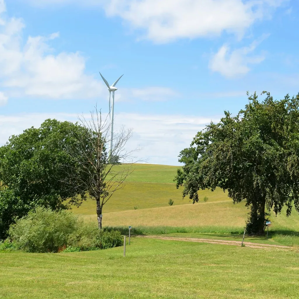
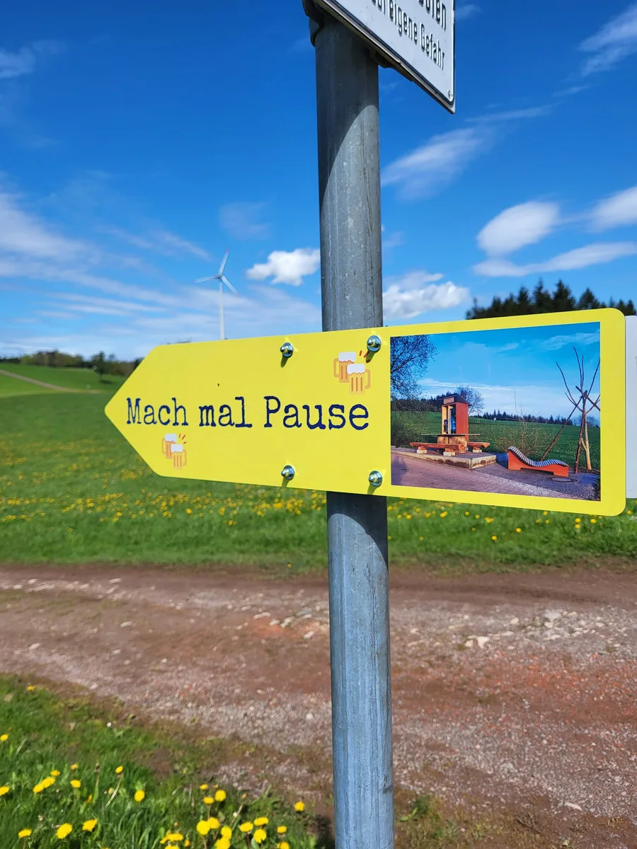
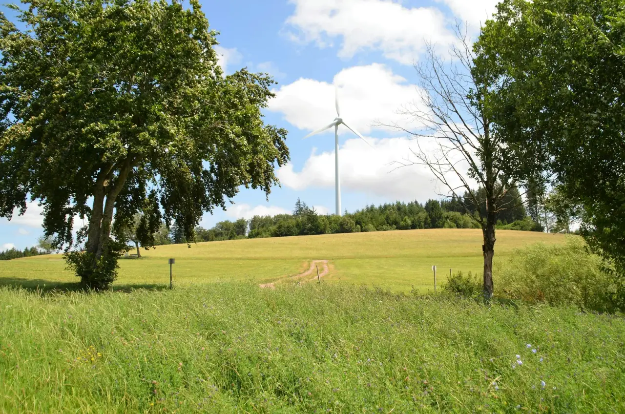
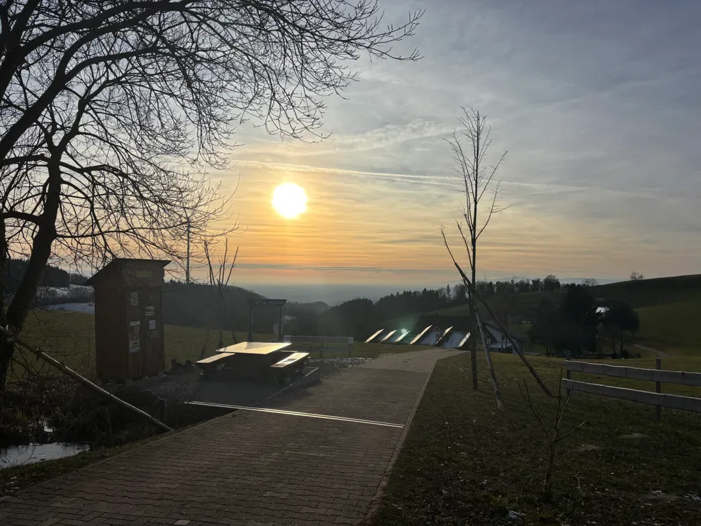
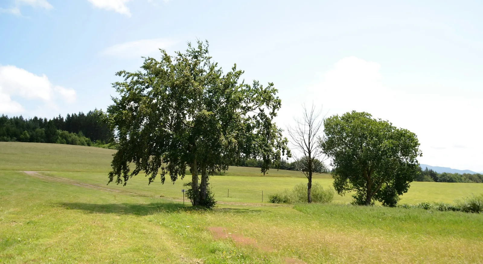
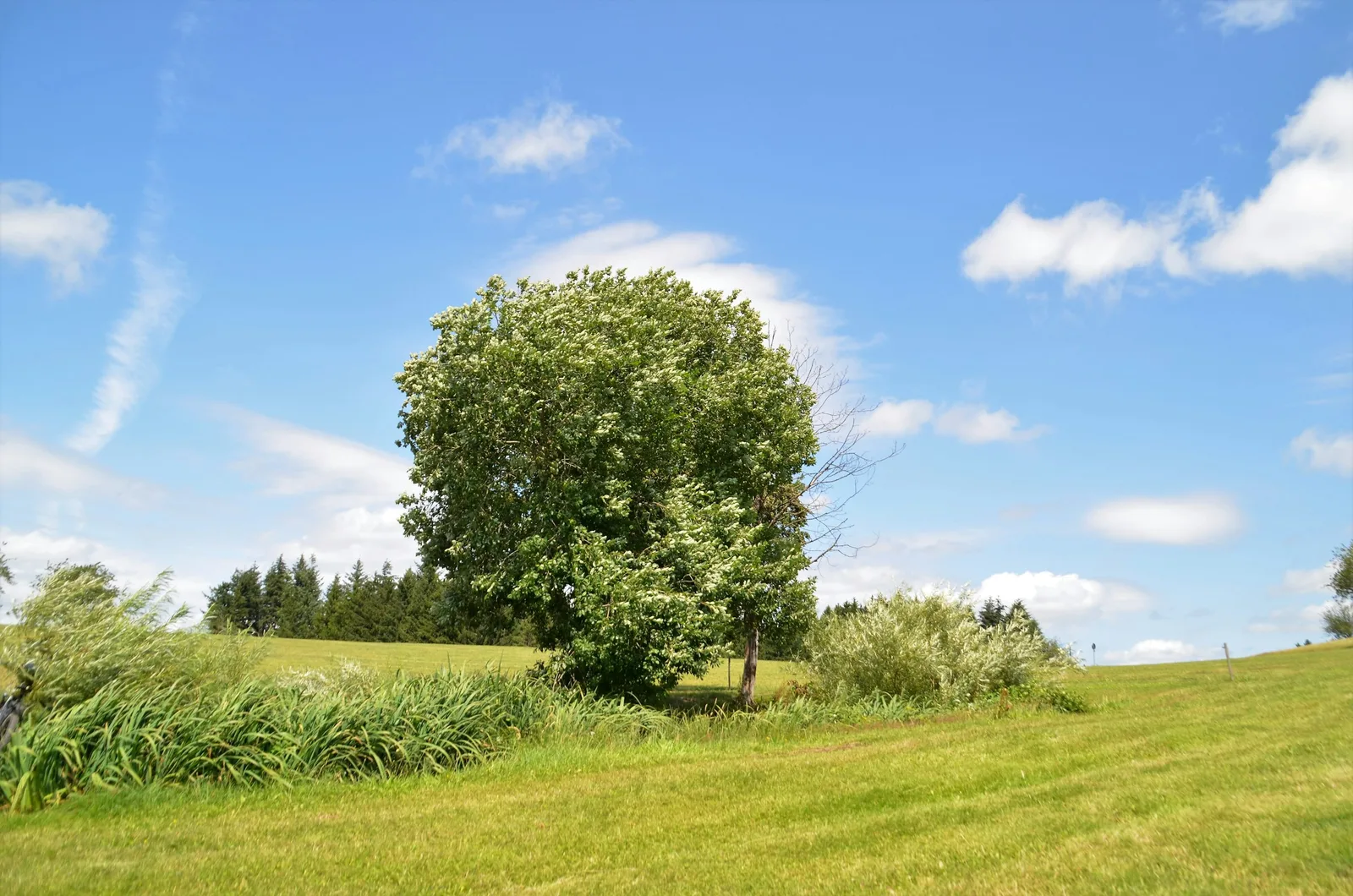
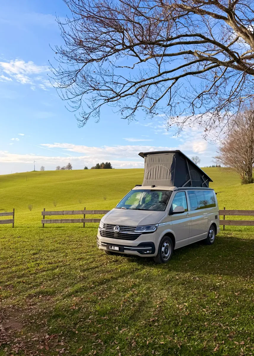
22 Photos
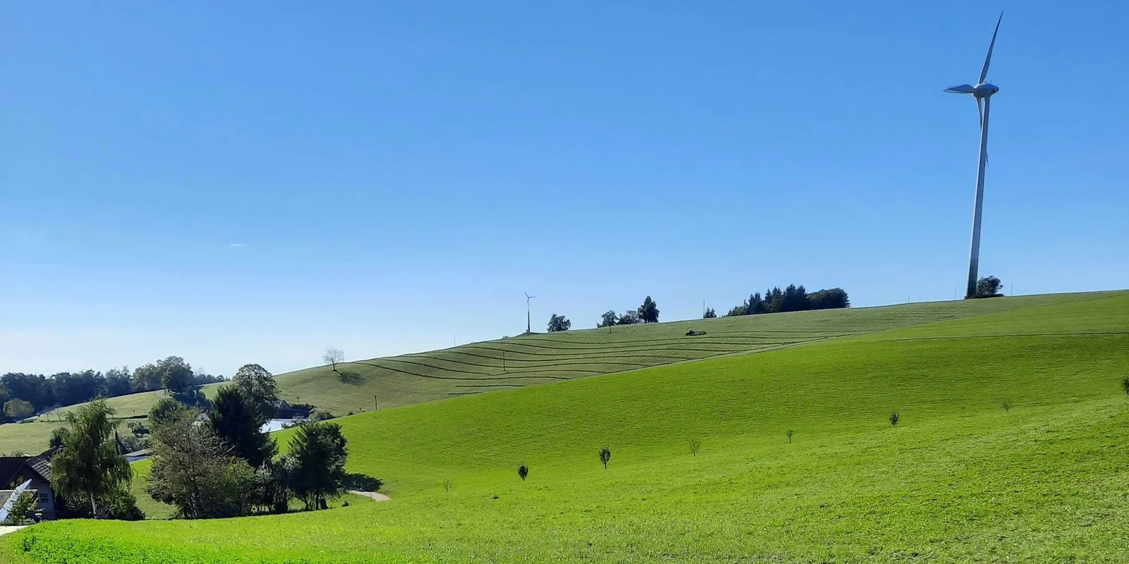
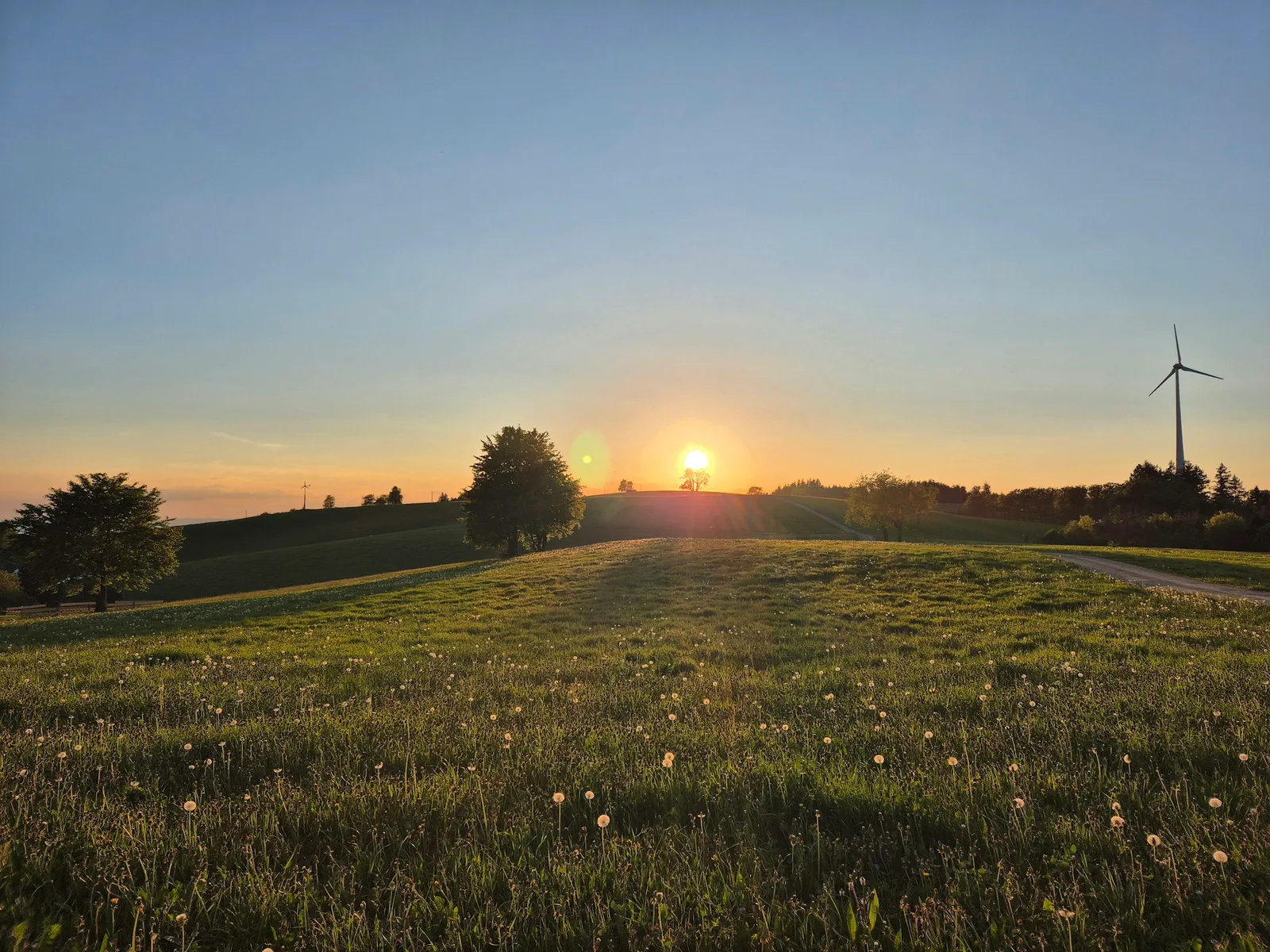
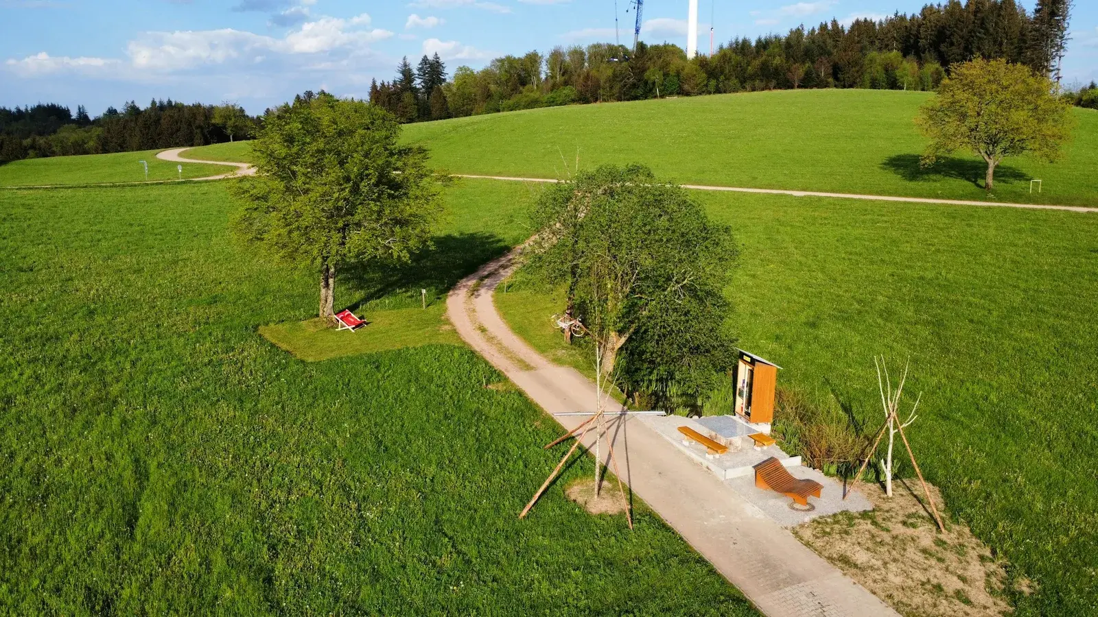
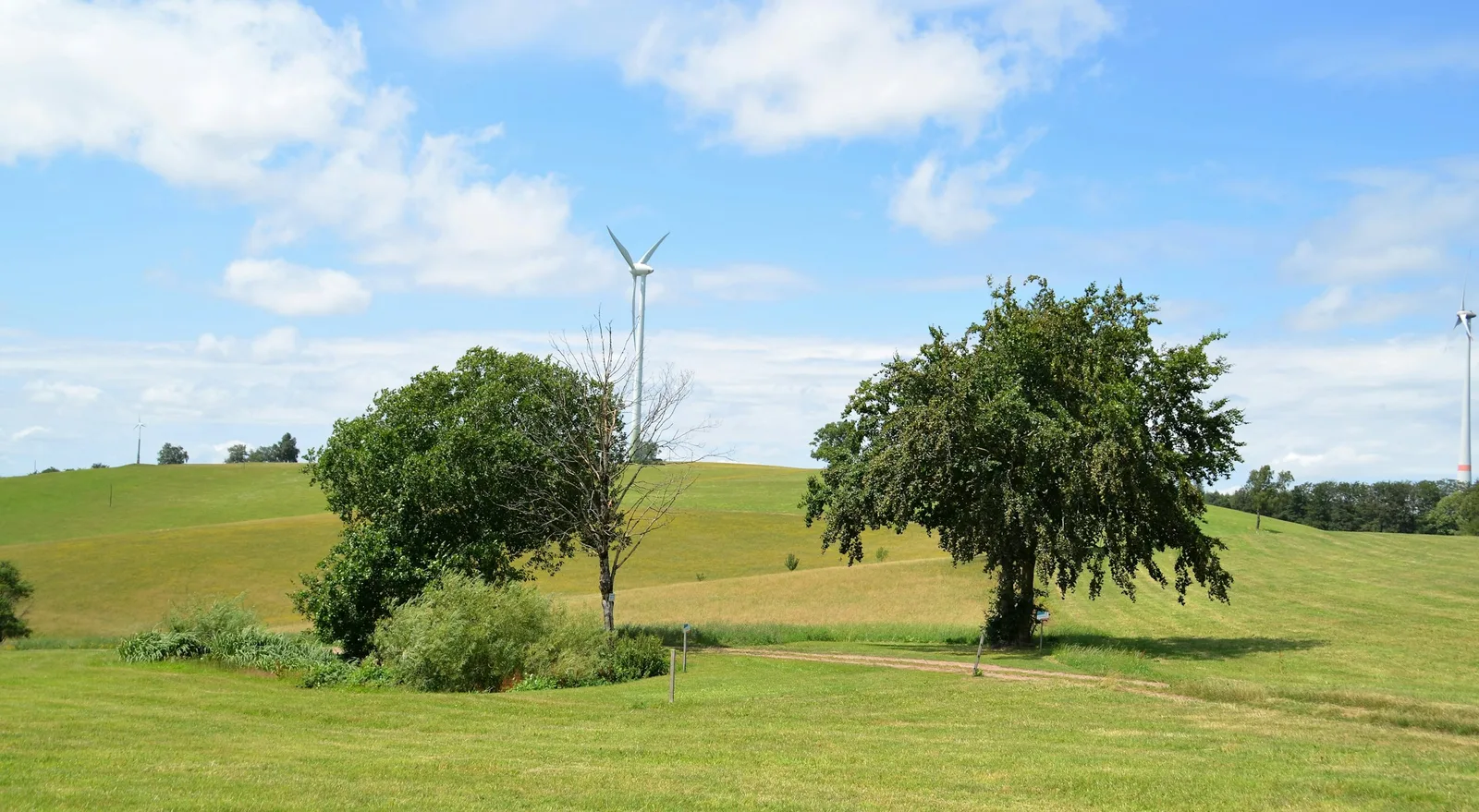
Am Kandelhöhenweg Auf der Alm
CampsiteGermany
- Price
- Kostenpflichtig
- Pitches
- 2 pitches
Amenities
Nearby
- Hiking trails45 routes
- Cycle routes7 routes
- Museum1.6 km
- Nature reserve, national park1.7 km
- Castle3.6 km
Water
- Beach
- Beach8.7 km
- Beach9.4 km
- Beach9.4 km
- Lake 7 nearby
- Wassertretanlage6.8 km
- Fischweiher6.8 km
- Waldsee8.8 km
- Bathing spot, outdoor pool
- 's Bad7.2 km
- Wassertretanlage7.7 km
- Schwimmbad Elzach8.2 km
Outdoors
- Hiking trailsHeiberich - Hocke · Schönwasen - Über der Dorfschmiede · Sommerberg - Fohreneck · Sandhöfe - Sommerberg45 routes within 3 km
- Cycle routes7 routes within 3 km
- Climbing 8 nearby
- Himmelsleiter8.5 km
- Kostgfäll Flechtenwand11.4 km
- Climbing11.4 km
- Boats and canoes
- Kanu-Slalomstrecke des Kanu Club Elzwelle Waldkirch e.V.7.3 km
- Boats and canoes9.4 km
- Boats and canoes9.4 km
- Horse riding
- Horse riding9.2 km
- Golf and mini golf 12 nearby
- Minigolf & Kiosk am Kurhaus4.7 km
- Golf and mini golf6.4 km
- Golfclub Gütermann e.V.6.6 km
Day trips
- Castle 18 nearby
- Burgruine Keppenbach3.6 km
- Hochburg7.7 km
- Hochschloss7.8 km
- Museum 30 nearby
- Stefanshofkapelle anno 17701.6 km
- Hugenhofmühle1.7 km
- Krummholzenhofkapelle2.3 km
- Zoo, animal or theme park
- Schwarzwaldzoo9.5 km
- Falknerei Natur-Erlebnis-Park12.3 km
- Viewpoint
- Hünersedelturm3.5 km
- Viewpoint4.8 km
- Sight 14 nearby
- Waldklassenzimmer5.6 km
- Heil- und Waldkräutergarten5.6 km
- Labyrinth Freiamt5.8 km
- Nature reserve, national park 4 nearby
- Kreuzmoos1.7 km
- Dörlinbacher Grund - Münstergraben7.6 km
- Albin Kurtz Douglasie8.4 km
Supplies
- Groceries
- Ihre Kette3.4 km
- Bakery
- Bäckerei Mellert3.5 km
- Restaurant, café 5 nearby
- Gasthof zur Sonne1.3 km
- Gasthaus Hirschen1.8 km
- Wanderheim Kreuzmoos2 km
- Pharmacy 9 nearby
- Apotheke am Heidacker5.3 km
- Marien-Apotheke6.5 km
- Kollnauer Apotheke7.6 km
- Petrol station 8 nearby
- Petrol station5.4 km
- Freie Tankstelle6.3 km
- Autohaus Hin7 km
- Railway station 8 nearby
- Niederwinden5.7 km
- Bleibach6.3 km
- Oberwinden (Elztal)6.4 km
Data: © OpenStreetMap contributors (ODbL) · straight-line distance · as of 26 October 2026
Reviews
No reviews yet. Be the first — sign in and share your experience.