
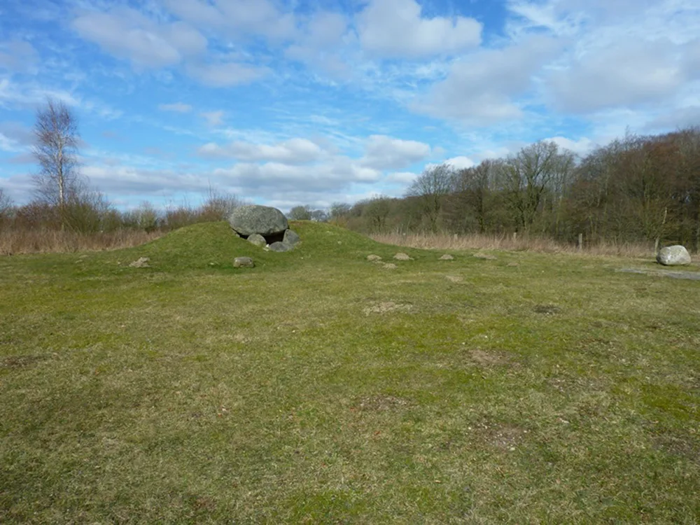
Trekkingplatz Gieselautal/Albersdorf
Basic campsiteGermany
- Price
- Kostenlos
- Pitches
- 2 pitches
Nearby
- Lake800 m
- Bathing spot, outdoor pool2.2 km
- Hiking trails8 routes
- Cycle routes40 routes
- Museum500 m
Water
- Lake 7 nearby
- Lisbeth ehrn Dieck800 m
- Mühlenteich2.3 km
- Kleiner Mühlenteich7.8 km
- Bathing spot, outdoor pool 5 nearby
- Freizeitbad Albersdorf2.2 km
- Quellenbad4.4 km
- Schwimmbad Schafstedt6.2 km
Outdoors
- Hiking trailsWanderweg Schlei-Eider-Elbe / Fernwanderweg E1, Schleswig-Holstein, Westvariante · Wanderweg Gieselautal · Nord-Ostsee-Wanderweg · Albersdorf - Steinzeitpark8 routes within 3 km
- Cycle routesNOK-Route · Steinzeit Tour · RWS · NOK-Alternative, Wennbüttel40 routes within 3 km
- Boats and canoes
- Boats and canoes7.8 km
- Horse riding 4 nearby
- Die Ponyfarm6.1 km
- Hof Nordwind7 km
- Hof Süderknöll7 km
- Golf and mini golf
- Golf and mini golf14.1 km
Day trips
- Museum 9 nearby
- Steinzeitpark Dithmarschen500 m
- Heimatmuseum7.9 km
- Dorfmuseum8.7 km
- Viewpoint
- Gieselautal950 m
- Viewpoint2.4 km
- Viewpoint2.8 km
- Sight 4 nearby
- Wassermühle Albersdorf2.3 km
- Fünffingerlinde5 km
- Hochseilgarten7.2 km
- Nature reserve, national park
- Fieler Moor8.7 km
- Ehemaliger Fieler See9.8 km
Supplies
- Groceries 4 nearby
- Edeka Maron850 m
- Lidl850 m
- PENNY In't Dörp1.5 km
- Bakery
- Bäcker Fischer850 m
- Mühlen Bäcker1.5 km
- Kalle-Bäcker1.7 km
- Restaurant, café 8 nearby
- Steinzeitpark Dithmarschen550 m
- Osteria Piano1.5 km
- Farilya Bistro1.6 km
- Pharmacy 4 nearby
- Elisabeth-Apotheke1.5 km
- Schimmelreiter-Apotheke7.9 km
- Theodor-Storm-Apotheke8.2 km
- Petrol station 7 nearby
- Shell1.7 km
- Petrol station2.7 km
- OIL!5.9 km
- Railway station 4 nearby
- Albersdorf1.4 km
- Beldorf4.3 km
- Hademarschen8.1 km
- Bus stop 3 nearby
- Grünental, Abzweigung450 m
Data: © OpenStreetMap contributors (ODbL) · straight-line distance · as of 26 October 2026
Reviews
No reviews yet. Be the first — sign in and share your experience.